NOCO Trail Day 19 - Windy Point Overlook & Transfer Trailhead (Southern Terminus) (11.0 miles - 17.7 km)

Around 2 a.m., a couple of people came walking up the road on foot, chatting loudly. They shined their lights on my tent, clearly surprised to see someone camped at such a random spot along the Transfer Trail. One of them commented on the tent, then they both went quiet and continued on until their footsteps faded into the distance.

I woke to yet another beautiful blue sky. Savoring one final morning cup of coffee, I packed up and continued down the Transfer Trail. The route passed a few larger ponds before reaching a stunningly clear creek where I chugged some water and filtered enough to carry me through the final 10 miles into town. With no water sources in that last stretch, I felt slightly redeemed for yesterday’s miscalculation.

The main highlight of the descent was Windy Point—a breathtaking overlook along the Transfer Trail that peers down into a canyon-like creek valley where the Jesse Weaver Trail runs. That trail is a solid alternate into Glenwood Springs if you're not a fan of descending a 4x4 road. Still, the views along the Transfer Trail make it the optimal route in my book—but to each their own.

At the trailhead, my girlfriend—who had dropped me off at the Dunraven Trailhead 18 days earlier—was waiting to greet me. We headed into Glenwood Springs to soak in the hot springs and enjoy the comforts of town, closing out the adventure of a near-perfect thru-hike.

Trip Totals

Miles - 293.0

Kilometers - 471.5

Days - 19

Zeros - 1

Neros - 0

NOCO Trail Day 18 - White River, Budge's Resort and the Transfer Trail (25.5 miles - 41 km)

Woke up to a frosty field of grass and a wet tent. Fortunately, I had another gorgeous, cloudless morning to dry everything out as I made my way down the Nicolas Creek Trail toward the White River. The view on the descent was magnificent and grand. Neither photos nor words can do it justice.

The White River is the only river ford along the NOCO Trail, and it should be respected. When I passed through in late August, the river wasn’t terribly high or fast. Still, it’s a major river, and during early season conditions, this crossing could be quite challenging. Unfortunately, I didn’t get any great pictures of the crossing—but there is a screenshot from a video below.

Shortly after crossing the White River, the route turns right onto a forest road that leads to Budge’s Resort, where I had a chance to chat with the 2024 operations manager, Josh. Rates run $130–$200 per night, and that includes breakfast, lunch, and dinner. Showers are available. They might be willing to let hikers passing through and take a shower—just let them know ahead of time. No guarantees, but they may be able to offer services to those passing through without an overnight stay.

The route continues on the Wagon Wheel Trail, which begins just left of Cabin #1 within the resort area. Hikers are allowed to walk through the resort—it’s National Forest land. The trail starts off steep, then completely disappears into thick grass. Josh had mentioned this, but I didn’t believe him until I was standing in it with no clear path forward. I kept walking to the right of Wagonwheel Creek, and eventually found some cairns. Unfortunately, the cairns were scattered and inconsistent, leading me on a zig-zag path. The better bet: stay right of the creek until the trail veers left on the map. From there, it becomes more obvious, with more reliable cairns to follow.

After reaching the upper Wagon Wheel trailhead, the route turns onto a forest road and stays on forest roads all the way to the Transfer Trailhead in Glenwood Springs. Along the way, it passes Bison Lake, Heart Lake, and Supply Basin Lake—all of which have numerous established campsites.

Planning for a bigger-mile day, I took breaks every five miles and tried to keep them short. I wasn’t sure about water availability later in the day, but after nearly three weeks on trail, I felt confident I could find a source close to camp. That turned out to be a mistake—most of the seasonal water sources along this stretch had dried up by this time of year. I hiked the final three miles with no water and quite literally couldn’t stop until I found a source.

The first source I came to had me spending ten minutes searching for a spot to collect water without stepping into mud or scooping up the murkiest mess of the trip. I gave up and continued to the next source about a half-mile further. Same deal. Now nearing 25 miles for the day—hungry, dehydrated, and not making great decisions—I finally accepted reality and filtered a few liters full of floaties, which clogged my Katadyn BeFree to a slow and painful trickle. Worth it, as tomorrow will be my last day on trail.

Now hiking by headlamp, I wandered to a few potential campsites, but none felt quite right—damp ground, uneven slopes, dense grass. Eventually, I gave in and stopped at a site that was somewhat acceptable, but by far the worst camp I had picked the entire trail. I blame the lack of water for that decision.

Still, I was happy to be in my sleeping bag, eating a hot meal, and mostly enjoying my final night on trail.

NOCO Trail Day 17 - Lakes and Views in the Flat Top Wilderness (19.9 miles - 32.0 km)

Enjoyed a cup of coffee to one of the more gorgeous sunrises I’ve had on-trail. Once it rose above the horizon, the intense sun was proper motivation to pack up camp and be on my way. Deer Lake had several campsites; one large one was occupied by a sheep herder.

The views were the highlight of the day—and they were endless. With numerous ponds and lakes along the way, water was plentiful. I’m very thankful to have had great weather yesterday and today. On one occasion, sheep dogs at a distant camp barked at my, but never got closer than more than 100 yards as I hiked by.

Toward the end of the day, the route I plotted turns onto the Lost Solar Trail. There’s a sign where the trail turns, but no visible sign of an actual trail and very little indication of where it leads. Trusting my maps and my sense of direction, I navigated toward where I expected the trail should be, and about a half mile later, a path—looking more like a game trail—appeared, eventually followed by a more established trail. Staying right of the creek is a GOOD idea. It did look like a similar trail had formed on the left side further downstream.

The intersection where the NOCO route turns onto the Nicolas Creek Trail can be slightly confusing. On the map, the trail appears to take a left turn, but it’s more of a straight-downhill move across the creek. Once across, stay on the left side of the creek heading downhill. There is another trail going left uphill—that’s the other route down the Lost Solar Trail on the left side of the creek. Both work.

I hiked a few more miles before finding a suitable camping location—a mostly level but lumpy site capable of holding a few tents.

NOCO Trail Day 16 - Devil's Causeway and the Flat Tops (19.0 miles - 30.6 km)

EPIC VIEW DAY!

Even though the Sheriff Campground is located up the hill from the reservoir and in the trees, it still ended up being cool and damp throughout the night. Fortunately, the sun was out without a single cloud in the sky. After getting back on the trail, I quickly decided to stop and dry out my tent—I wasn’t too into lugging a wet tent along with four days of food up the extended climb.

This gave me a chance to soak in my own rays of sunshine and warm my bones up. The route I selected continues around the backside of the Devil’s Causeway, a prominent feature in the Flat Tops Wilderness and one of the major highlights along the Northern Colorado Trail. I was super happy to have great weather in the forecast today, as I wanted to make it over the Devil’s Causeway and eat lunch with the amazing view the area provides.

Before reaching the Causeway, the East Fork Trail passes by Causeway Lake, which offers great fishing opportunities. I saw a large trout where the trail crosses the lake’s outlet stream. There are also some camping options available here, which could be a great choice if getting over the Causeway early in the morning is necessary to beat afternoon storms during monsoon season.

The final climb to the Devil’s Causeway was a butt-kicker. Approaching 11,800 ft, I was sucking wind as I crested the final part of the ridge. But once on top, the views were magical. With only a couple of hikers up there with me, we traded turns taking photos before I found a great rock to sit on and eat lunch.

After passing the Causeway, the route stays on the plateau, following the Chinese Wall Trail before turning onto the Deer Lake Trail. Staying on the Chinese Wall Trail is a viable alternate to the route I took and actually makes it shorter—but again, my goal with this route is to highlight the amazing places in the region, and I feel the Deer Lake Trail is totally worth the extra few miles it tacks on.

Having taken my time throughout the day to enjoy all of the epic views, I arrived at my campsite just before Deer Lake right at sunset, which produced some amazing lighting while overlooking the river valleys below.

Itching to get to camp in time to see the sunset, I foolishly skipped getting water at a great source just before camp, which meant I ended up walking about an additional mile to get water from the Deer Lake inlet. Still, I’m glad I stopped to camp before Deer Lake, as all the campsites around the lake were occupied. It also turned out they all got some frost during the night, while my higher camp stayed completely dry.

NOCO Trail Day 15 - County Roads to Sheriff (18.7 miles - 30.1 km)

A couple of days ago, I started to feel an earache. That continued this morning, so after grabbing one more egg and bacon sandwich from Penny’s Diner, I stopped at the grocery store to get some Q-tips to clean it out, as well as some apply Neosporin—which made it feel better. I also snagged an extra-strength 5-hour Energy to help power me through the long road walk out of town with five days of food in my backpack.

I passed the 200-mile mark shortly after leaving town. The road walk went as expected, with beautiful views and decent water sources—a much prettier walk than the road section south of Highway 40.

About six miles into the day, the road changed from pavement to dirt, and the climb began, which I definitely felt in my legs with the heavy pack. After turning onto Forest Road 959, I passed many really good dispersed campsites. I ended up staying at the Sheriff Reservoir, a paid campsite with pit toilets and good water sources. I chose it mostly because I didn’t want to go any farther, and I didn’t want to backtrack to one of the many dispersed sites. $14 per site, with six sites total.

There was one other group camping there, which made for a quiet—but not lonely—evening.

NOCO Trail Day 13 & 14 - Down the Morrison Divide into Yampa & Zero Day (10.1 miles - 16.3 km)

It rained on and off throughout the night. I woke to sprinkles, followed by the warm glow of sunshine. At the top of the Morrison Divide Trail is an assortment of forest roads, one of which was shown on the map but didn’t exist in person. After packing up and exploring the road-map situation, I found myself on Forest Road 285.

Post-Trail Note: After having been there in person and looking back at the map, I should have walked past an area known as the Slide, which I believe offers some camping opportunities as well as great views from the top of a landslide. I had rerouted the trail here to take this optimal route.

Shortly after, the sun and breeze picked up enough for me to dry my tent the rest of the way. Walking through this area on a Sunday meant I was passing a steady stream of vehicles, relatively speaking. With the forest roads steeply descending off the Morrison Divide, I quickly found myself along Highway 131 and, soon after, wandering into the town of Yampa.

With a beer and burger on my mind, the first stop was Antlers Cafe and Bar, which was closed due to it being the owner’s birthday—they were setting up for a private party later in the day. With several of us a little sad to miss the chance to grab some food and a beer, the owner was kind enough to let us hang at the bar and gave us each a beer. There were two other gentlemen sitting at the bar and we had good conversations about the outdoors and the various adventures we’d all been on.

From there, I made my way to Penny’s Diner (open 24 hours), where I was able to grab a burger before checking into the Travelodge. I’d have several means at Penny’s Diner which had great portions at a great price. With a list of town chores on my mind—and pizza—I exploded my pack all over the room before making several trips up and down the main road in town, before finally settling in for the night.

The following morning, I made the decision to take a zero, which was much needed as it was my first day off since starting the trail. After a few more trips to the grocery store and gas station for resupply and pizza, I was able to take note of the various resources thru-hikers might be interested in: a public park (no outlets), a public library, and a post office being the highlights. For those who decide to stay at the Travelodge, there is coin operated laundry and dryer. One of the nice things about Yampa is how easy it is to walk through town—everything is close to each other.

After feeling like I’d taken care of everything I could in town, I made my way back to my room, where I watched three movies, talked with family back home, and looked over the route ahead one more time before committing to the longest segment of the trail so far.

NOCO Trail Day 12 - Silver Creek, Morrison Creek and the Morrison Divide (19.5 miles - 31.4 km)

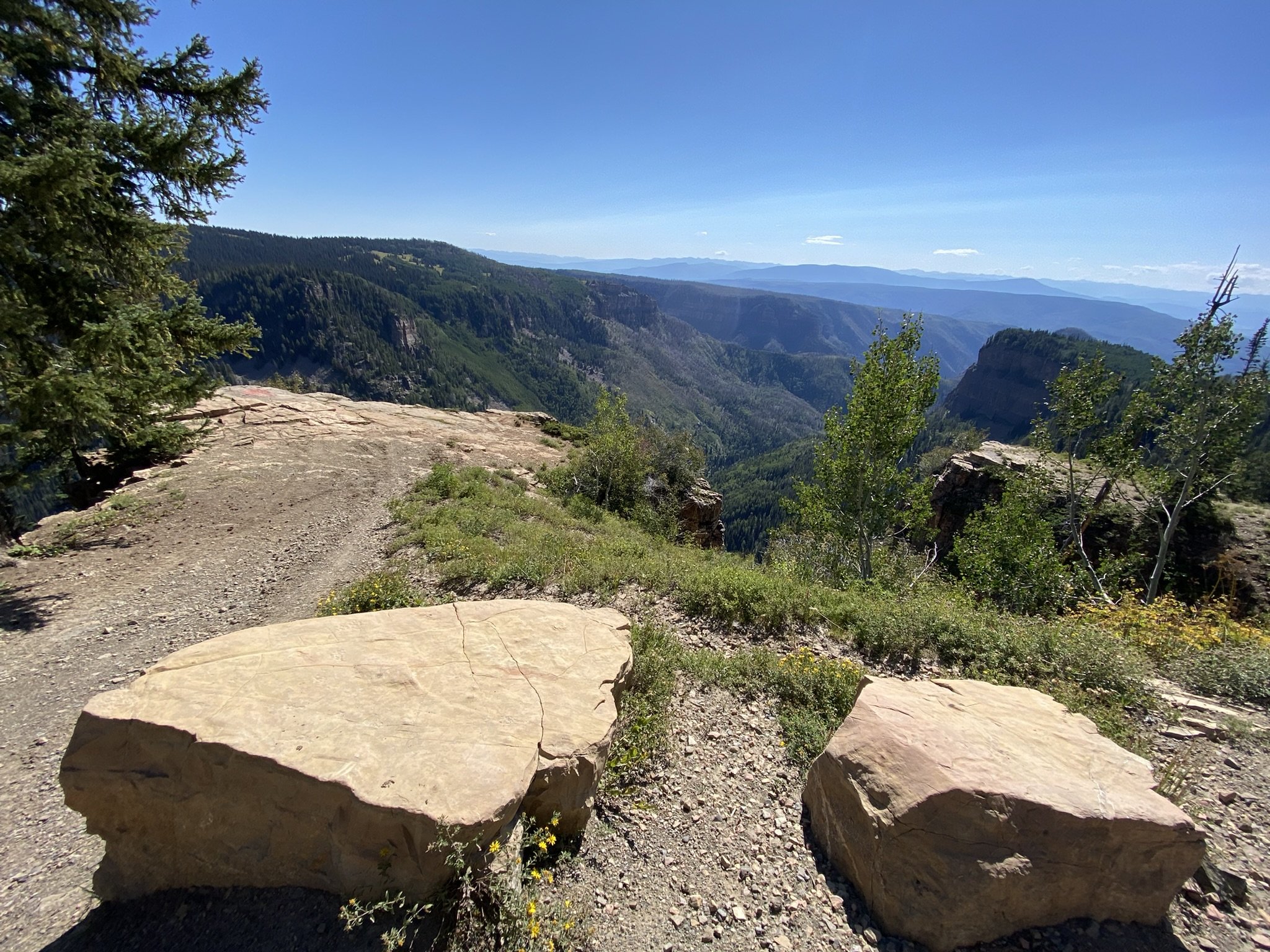
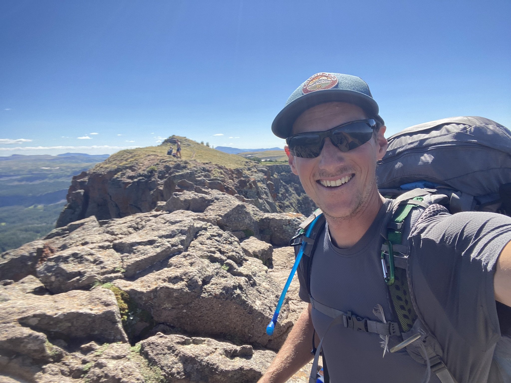
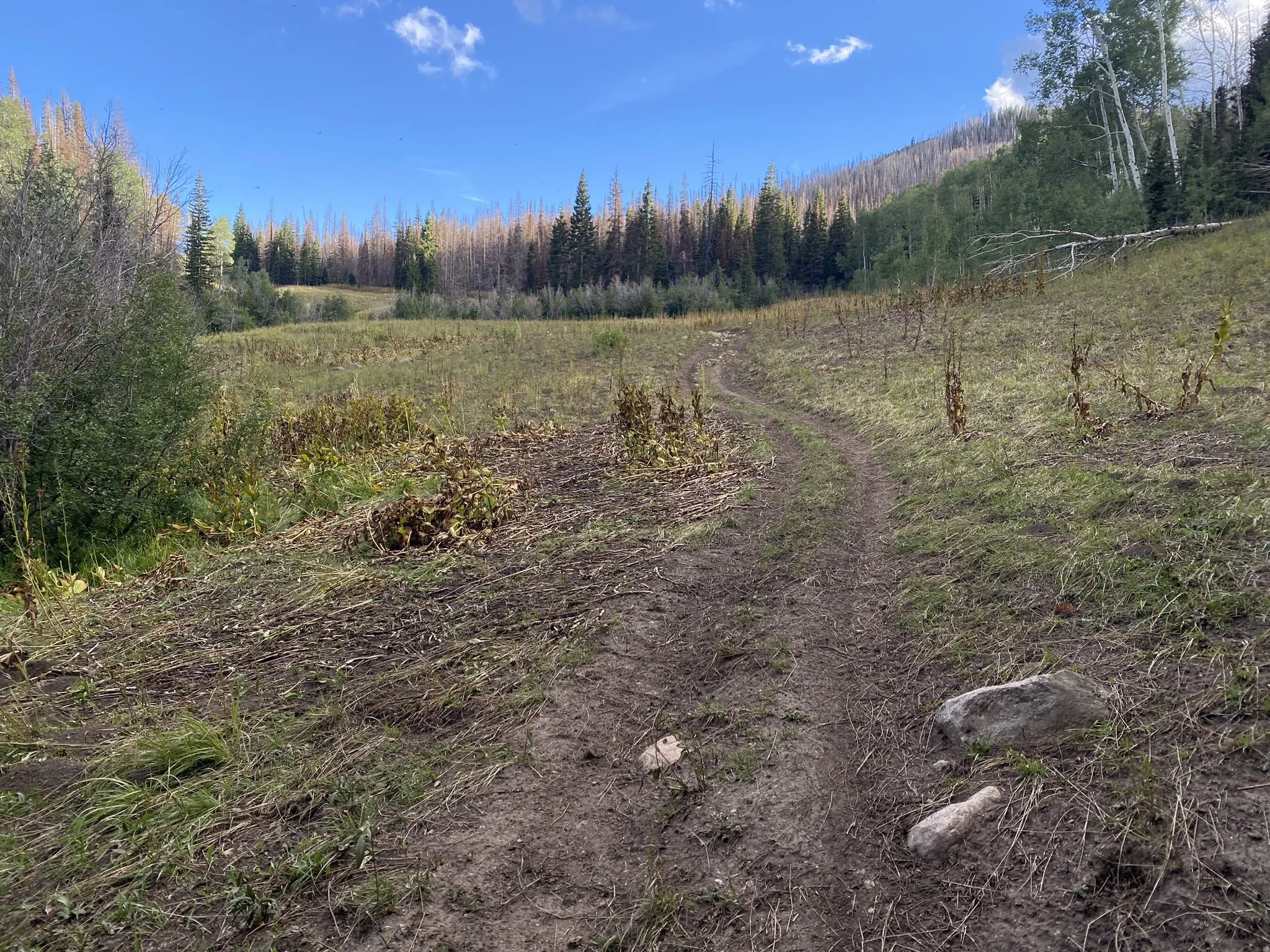
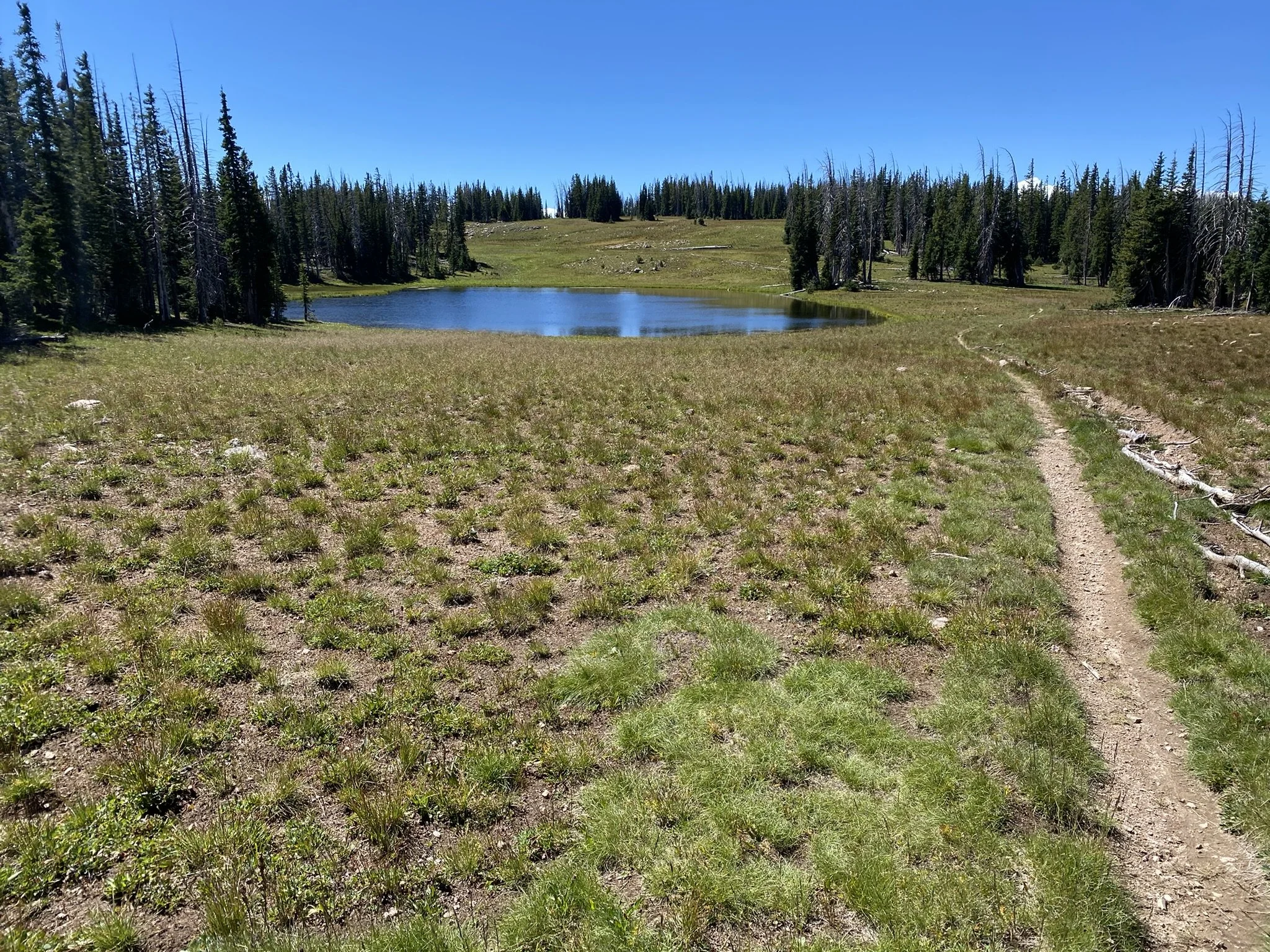
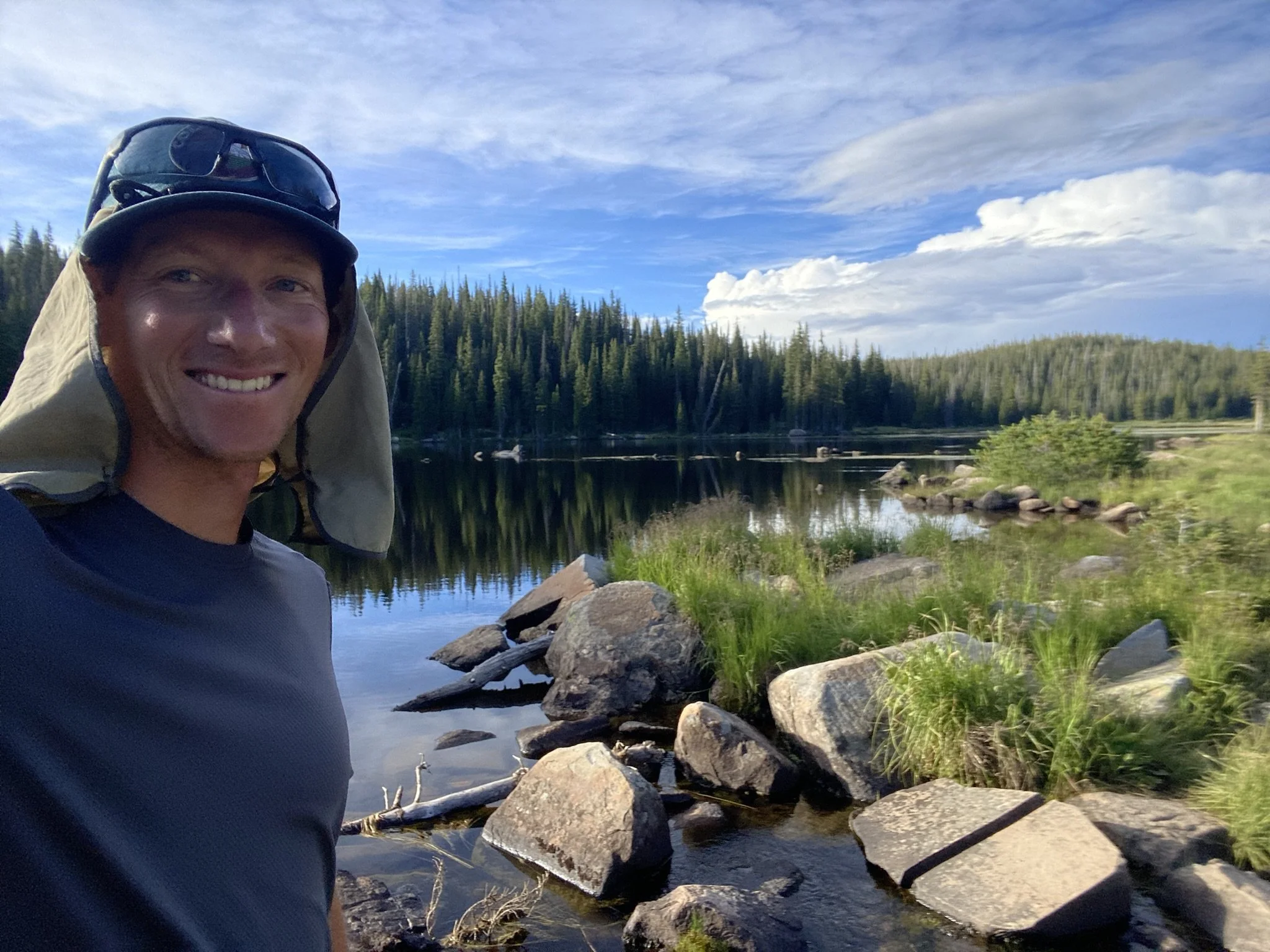
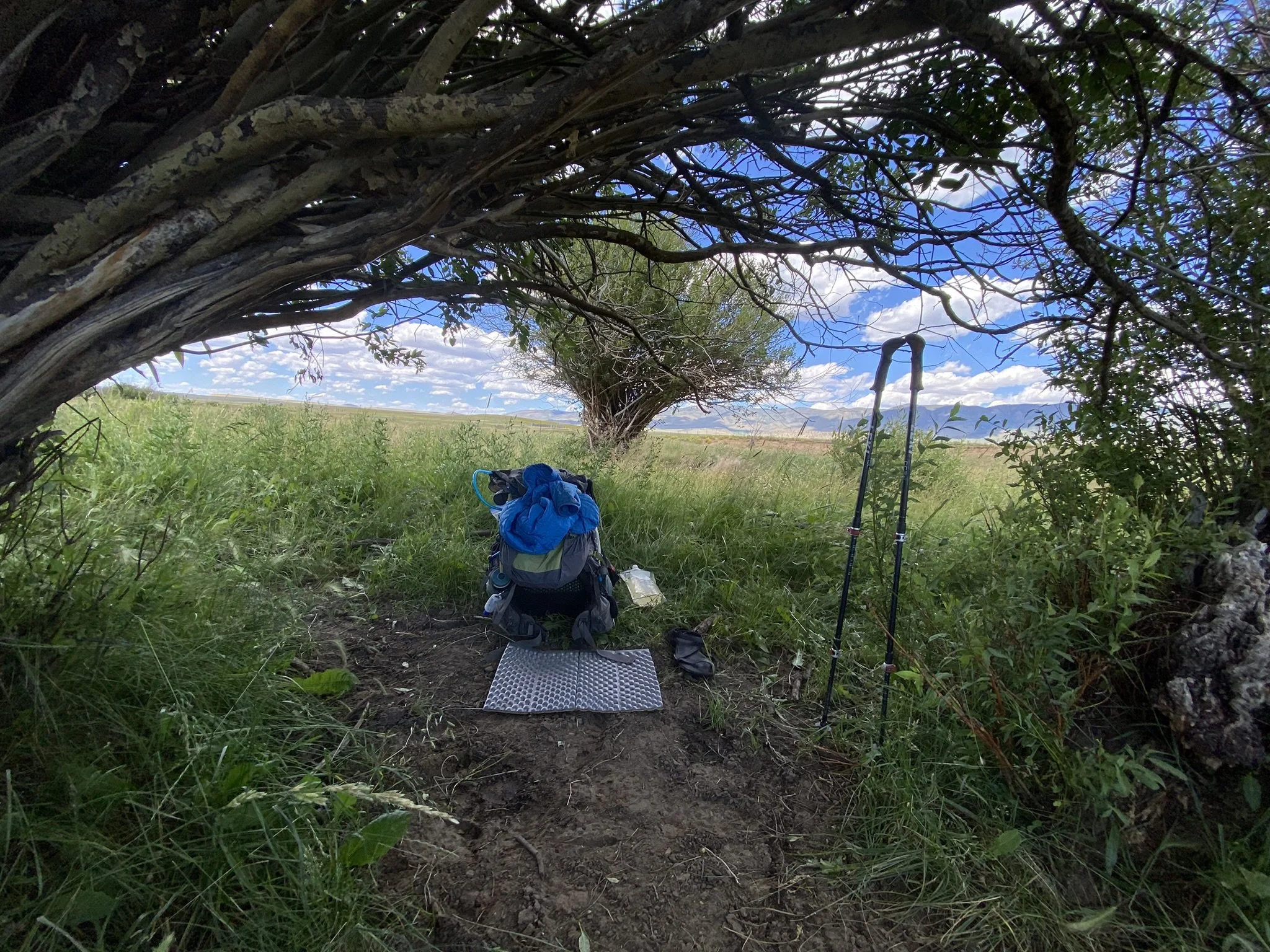
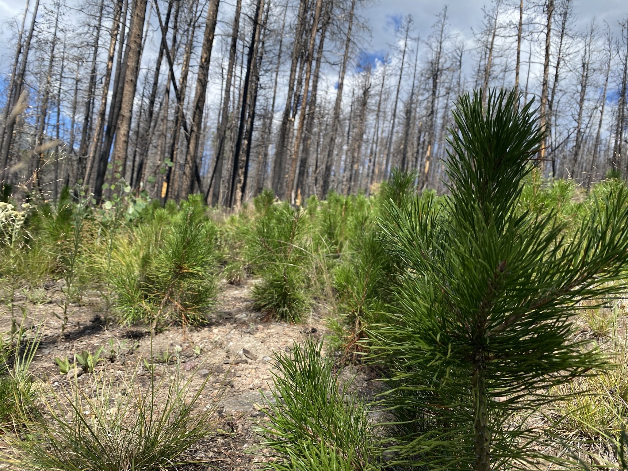
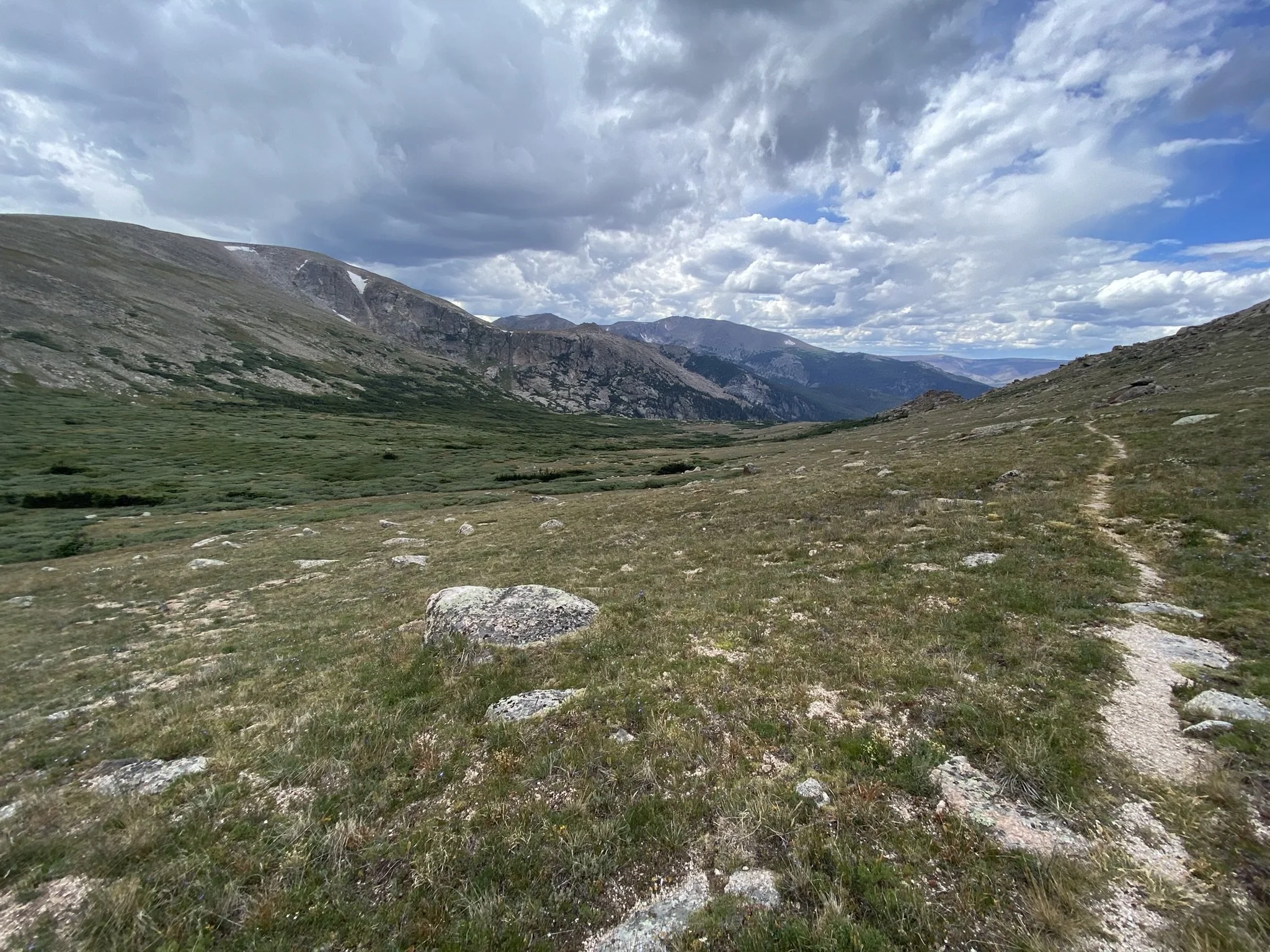
I woke in a better mood this morning. Being on a trail helps, but also my tent wasn’t soaking wet from the dew. From camp, the Silver Creek Trail follows the creek for several miles before veering away to stay higher on the hillside. This provided many great views with dense forest around large rock formations. There were also blueberries in this area!

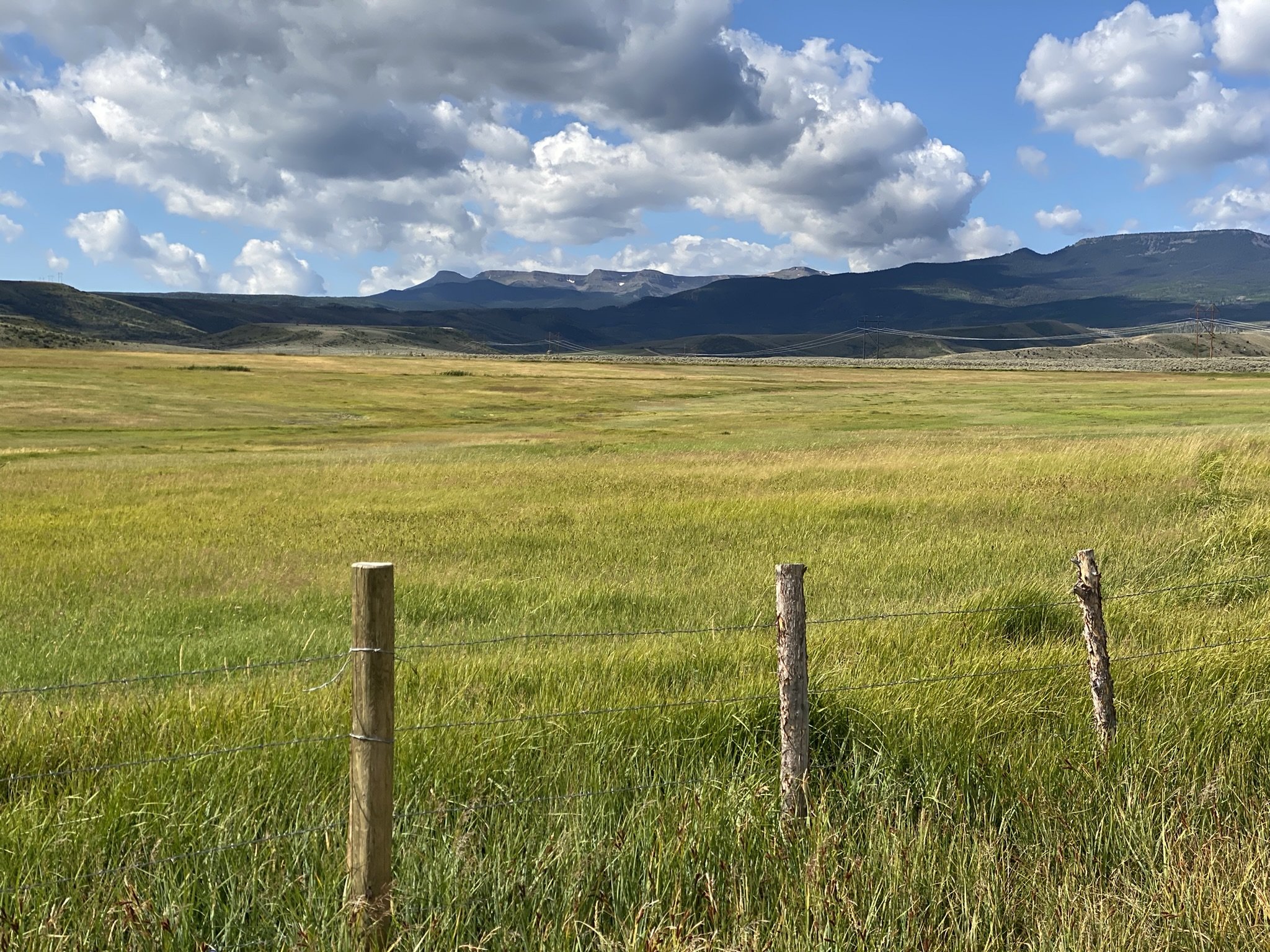
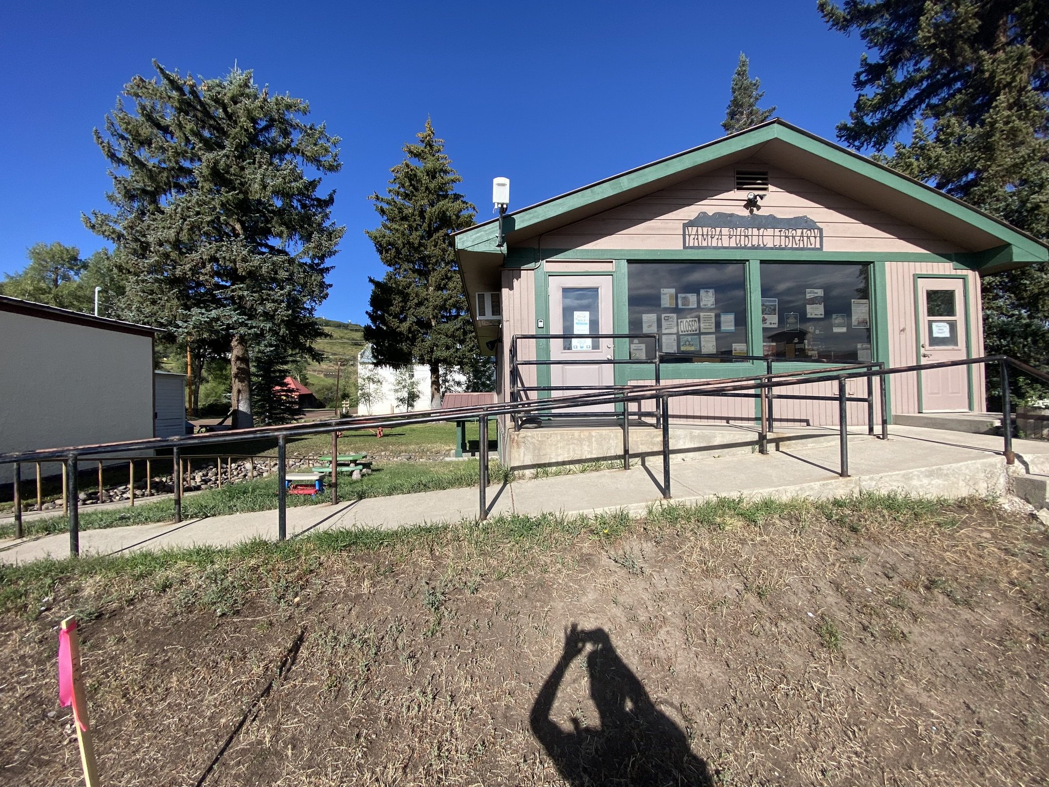
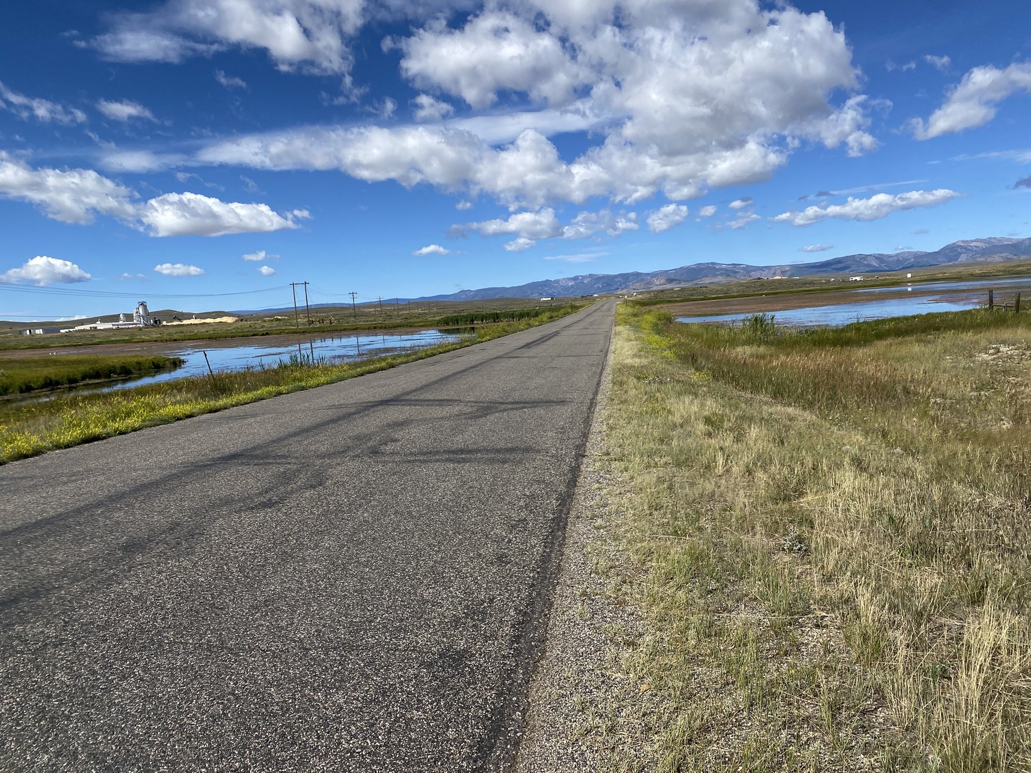
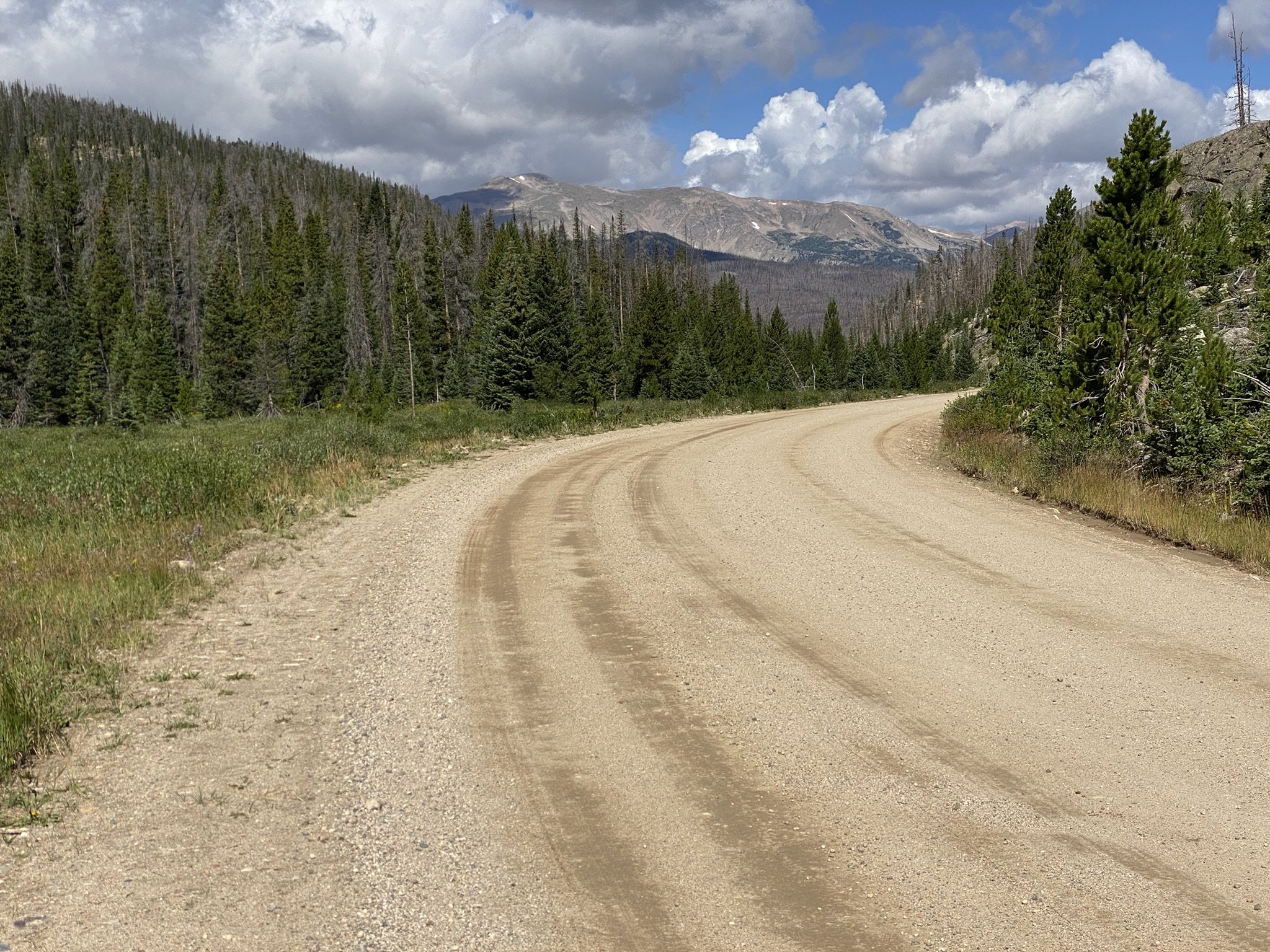
Once at the lower Silver Creek Trailhead, the route continues on County Road 16 where the route joins the Great Divide Biking Route which leads from Mexico to Canada (and beyond). I believe it was the precursor to the idea of the CDT.I woke up in a better mood this morning. Being on a trail helps, but my tent also wasn’t soaking wet from the dew.

From camp, the Silver Creek Trail follows the creek for several miles before veering away to stay higher on the hillside. This provided many great views, with dense forest surrounding large rock formations. There were also blueberries in this area!

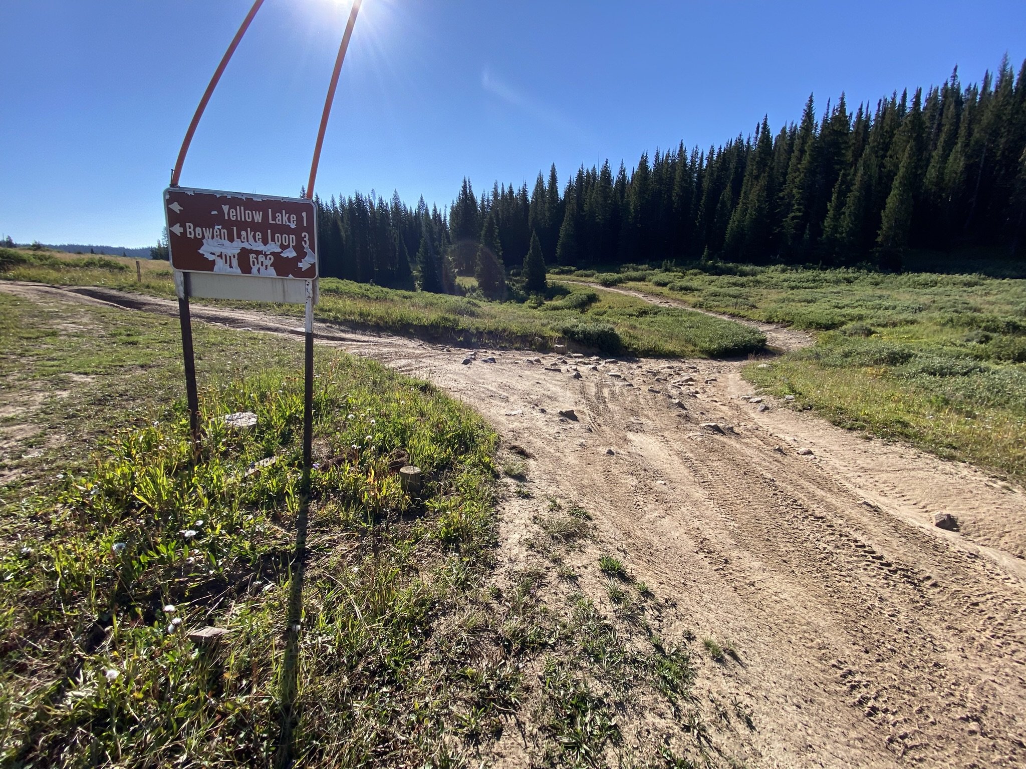
Once at the lower Silver Creek Trailhead, the route continues on County Road 16, where it joins the Great Divide Biking Route, which runs from Mexico to Canada (and beyond). I believe it was the precursor to the idea of the CDT.

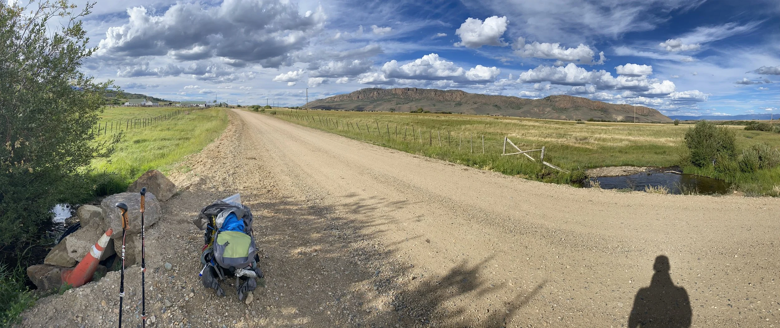
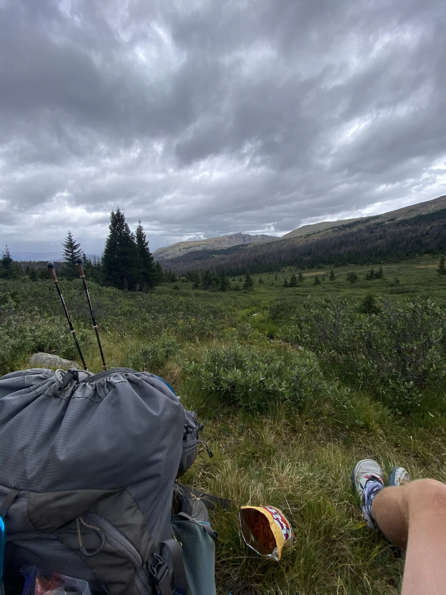
Immediately after turning onto County Road 16, I met a bikepacker out on the Great Divide Route. Rat King was his name, and we chatted a bit about his adventure and mine before continuing on with the four-ish-mile road walk. About halfway, the rain let up, and I found some access to Morrison Creek, where I decided to stop and eat some lunch.

As I relaxed in the shade, two more bikepackers rolled up—Tim and Mattaias (Matthews), two men from Germany out on the Great Divide Route. After a short conversation, they decided to stop and eat lunch with me. We exchanged stories of our travels—they were 26 days into their 40-day adventure. They also shared their stoke for the Northern Colorado Trail and asked many questions about long-distance backpacking. I, in turn, asked my fair share of bikepacking questions—an idea I’ve tossed around in my head since being out on the CDT. I just like the speed of hiking so much more.

After the longest lunch break I’ve taken so far, the three of us decided to get back on the road. Shortly after, the rain began to fall again. Have I mentioned how happy I am to have a trekking umbrella? It’s the best. The three of us leapfrogged each other a few times as we put on and took off our rain gear with each passing shower.

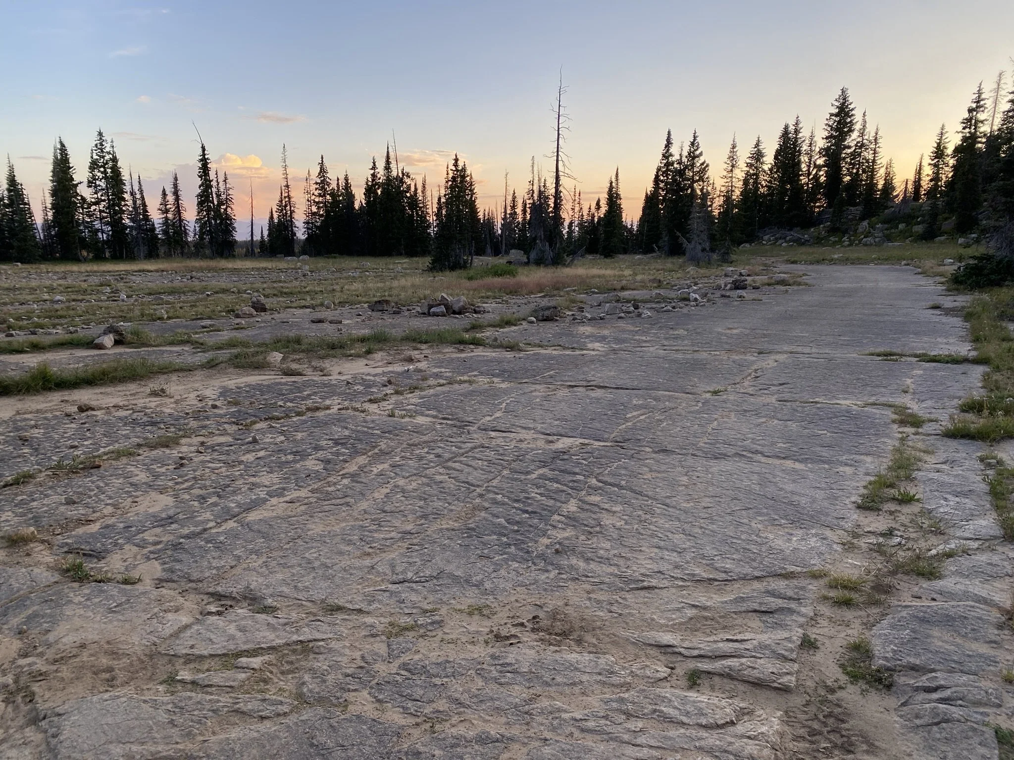
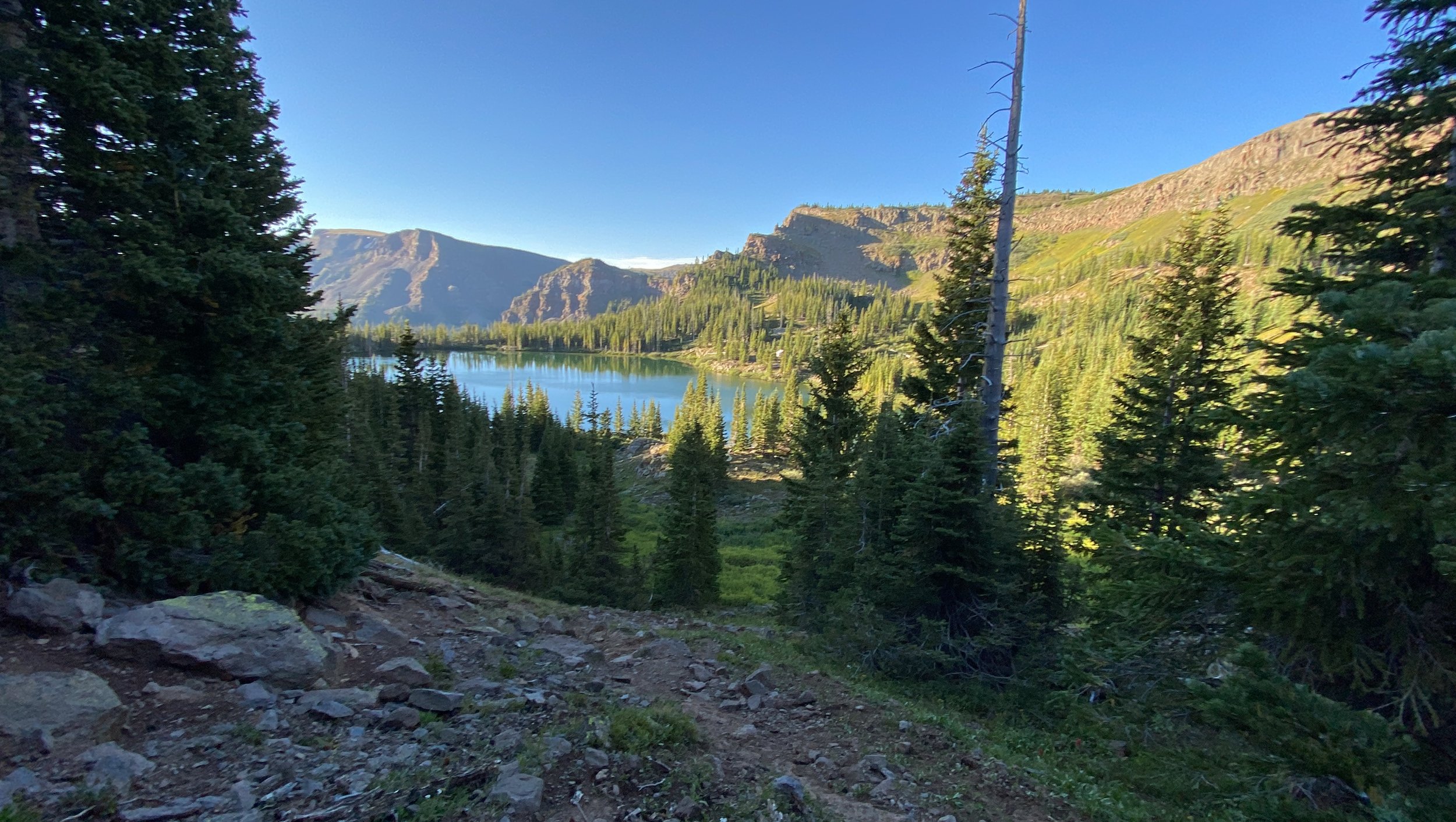
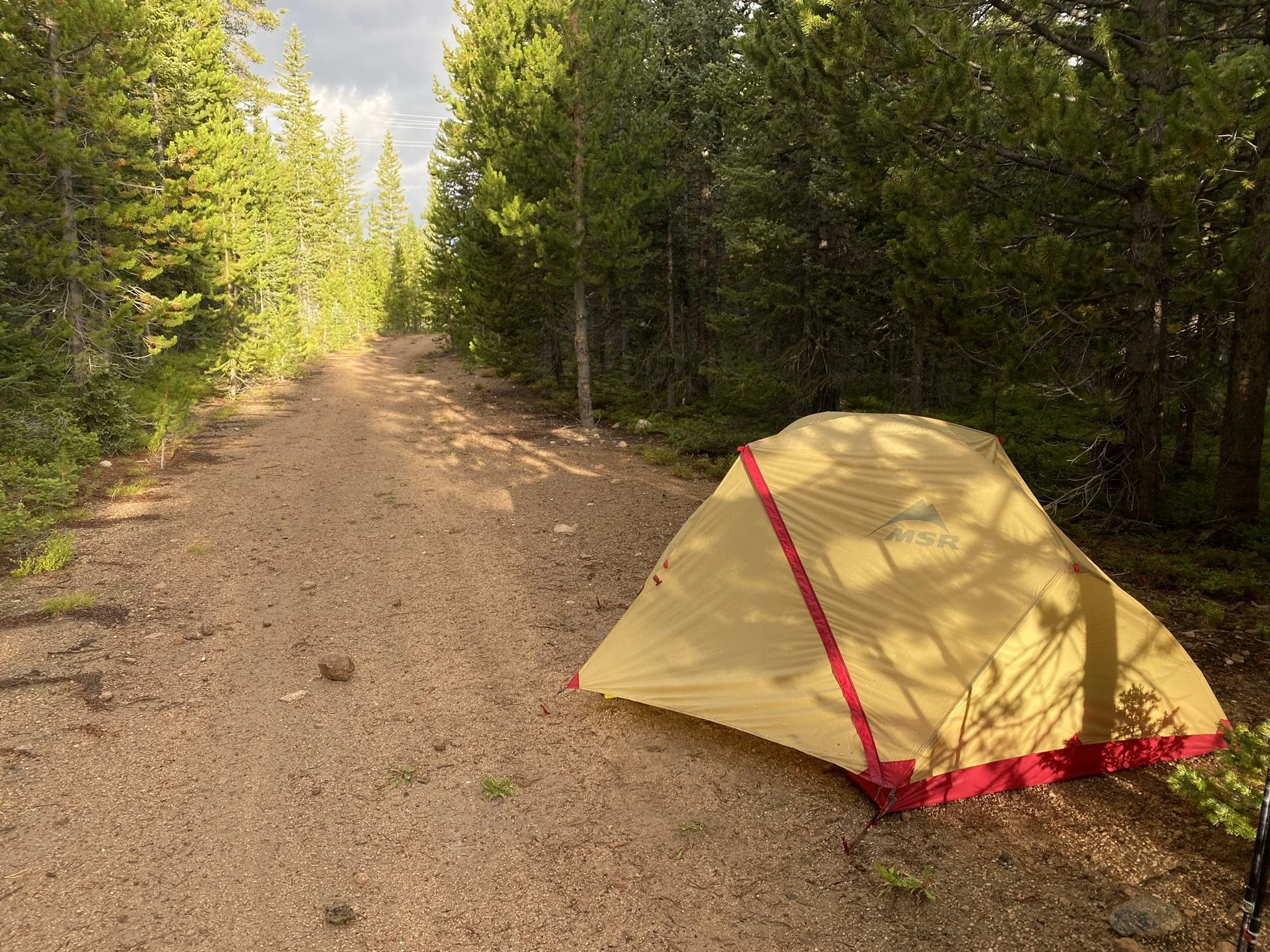
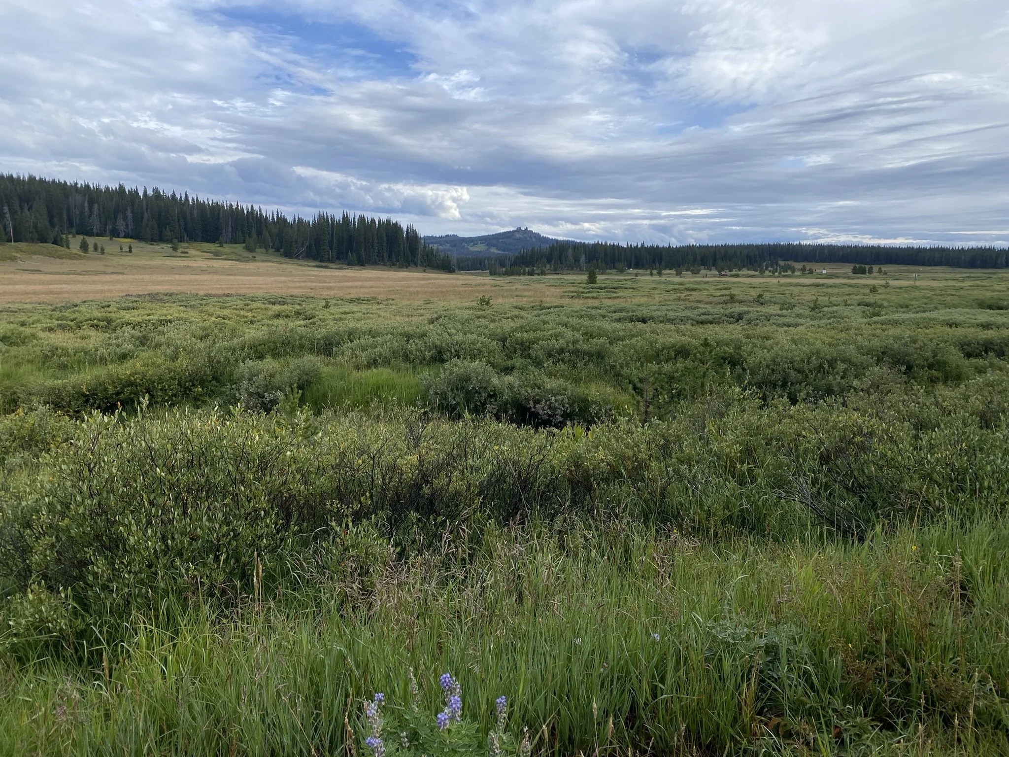
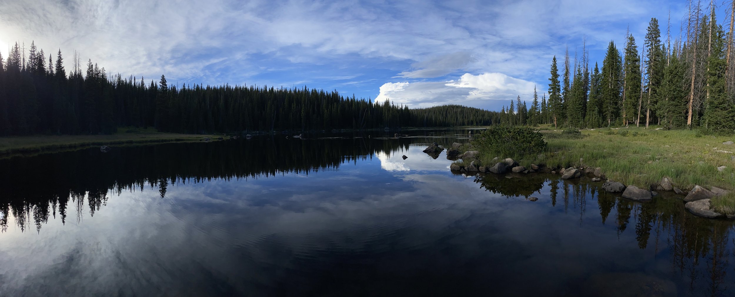
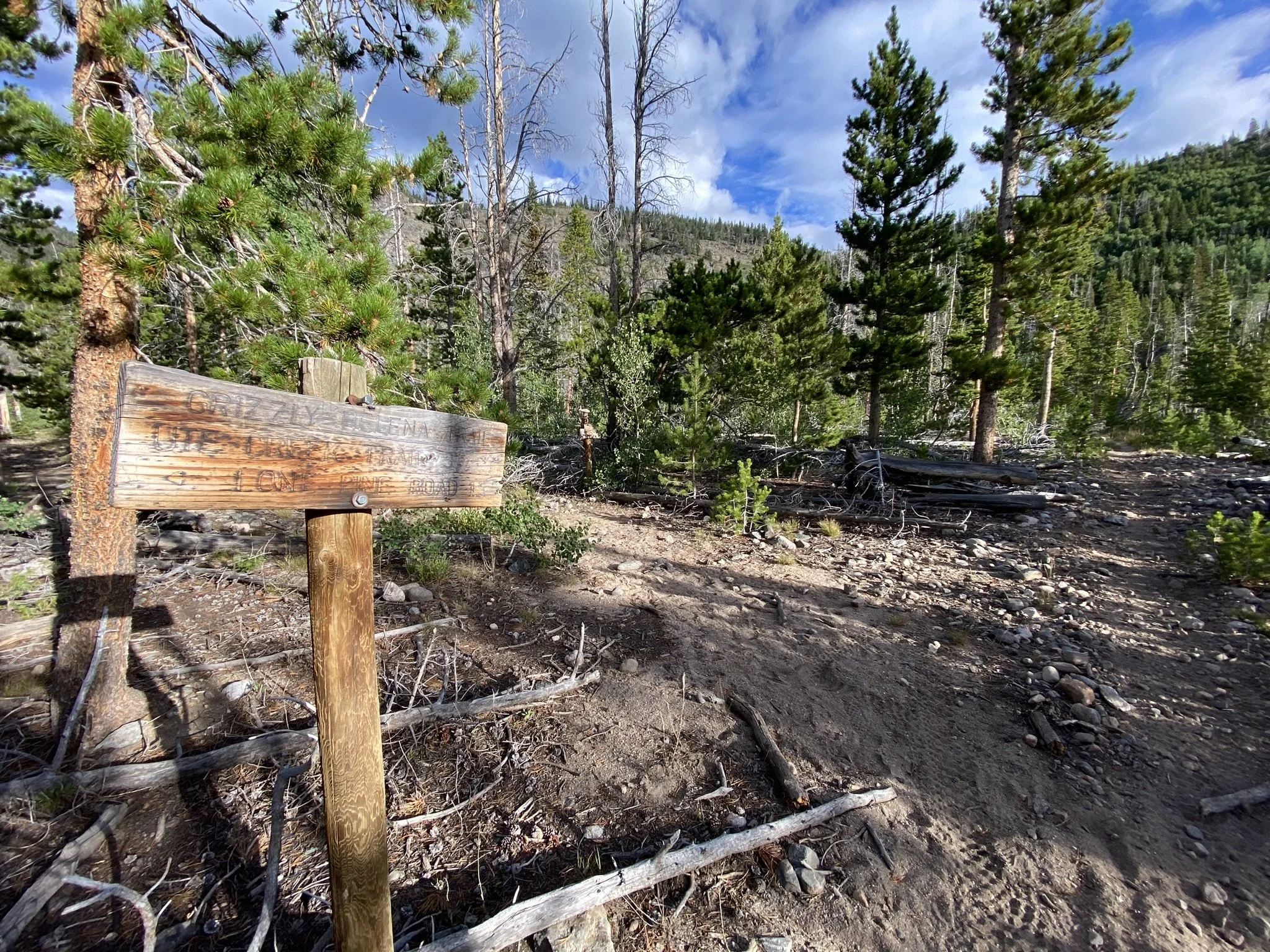
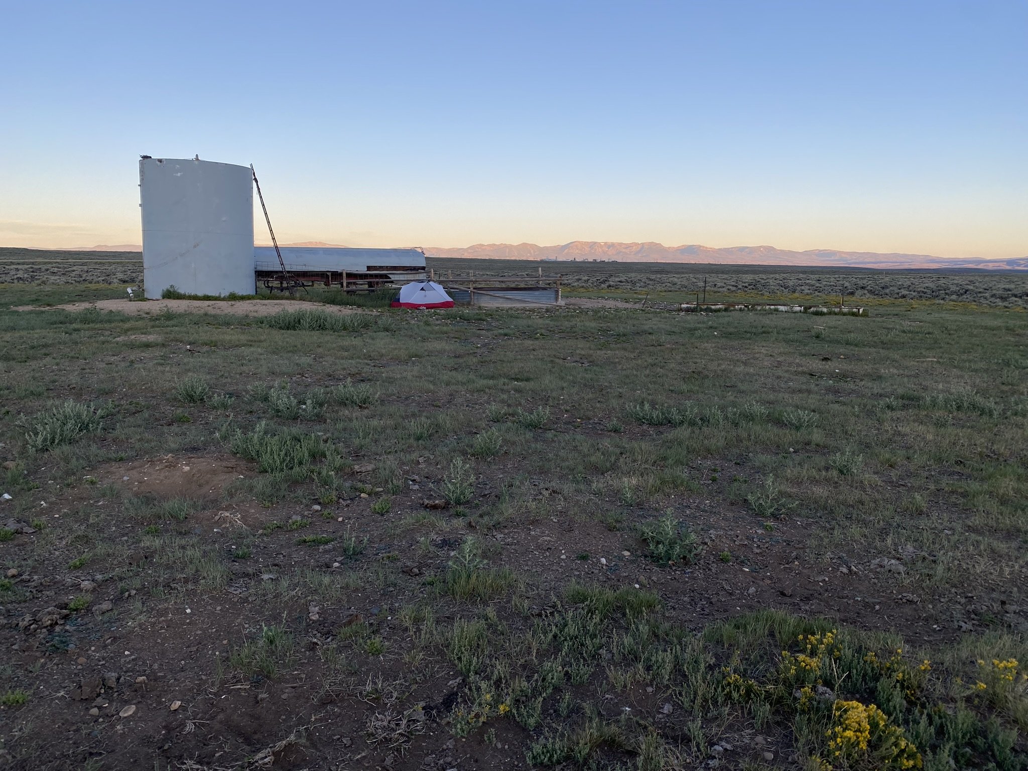
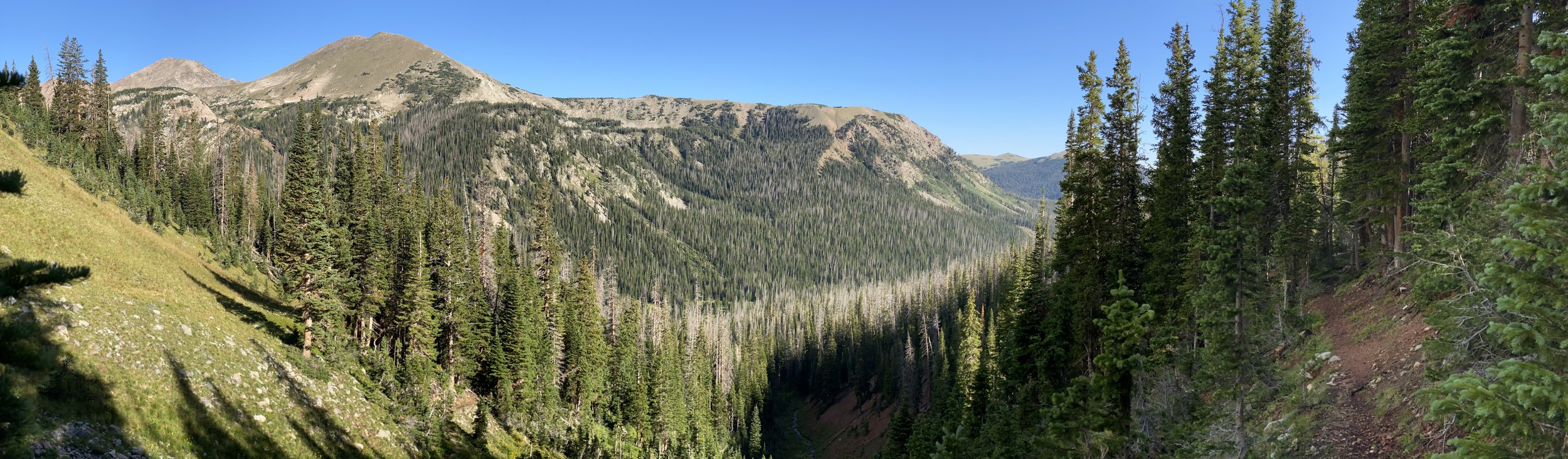
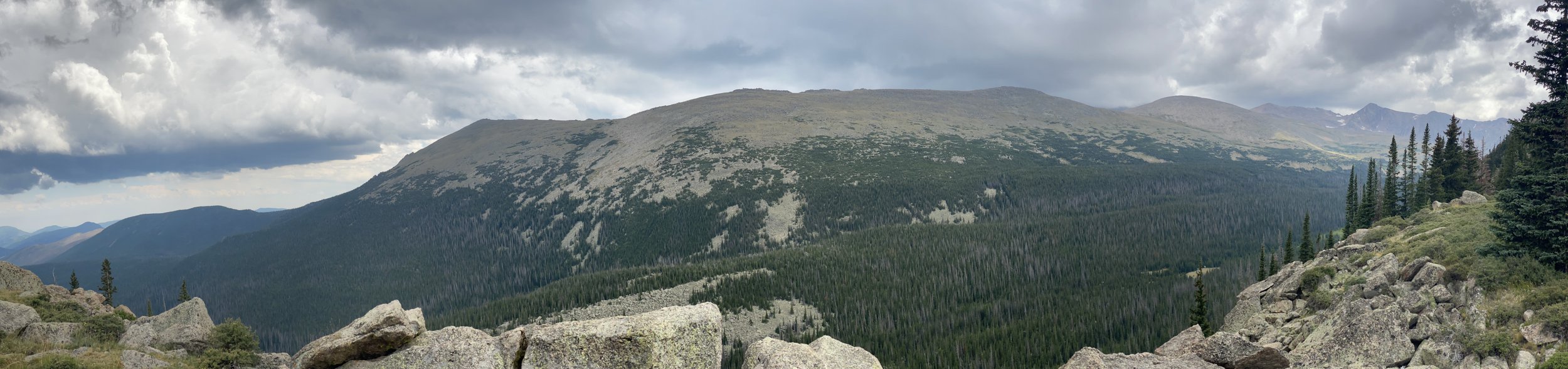
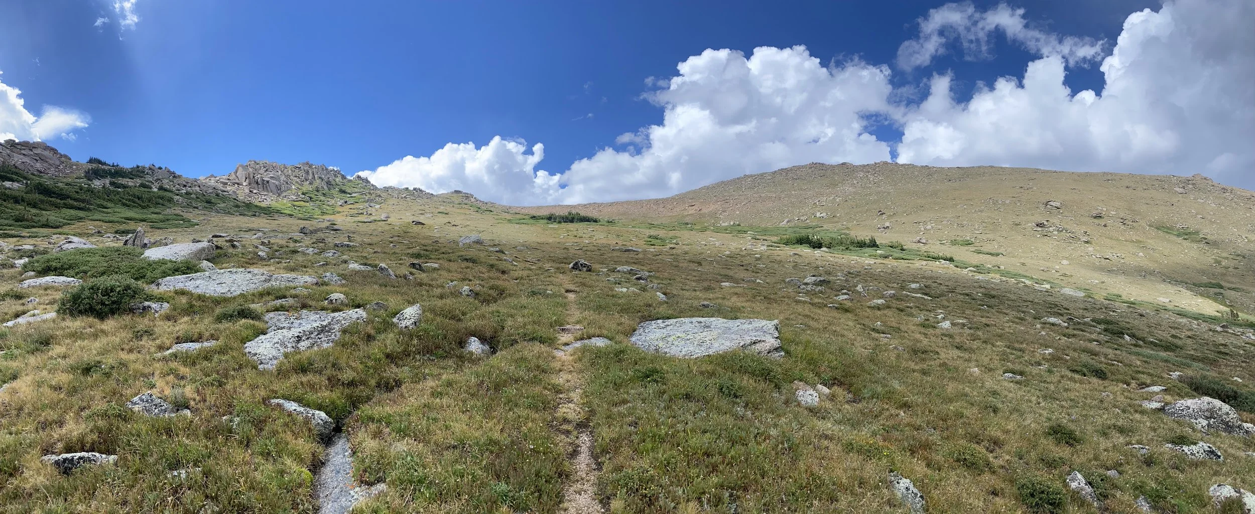
The road walk terminates at the Morrison Divide Trailhead. The climb up to the top of the divide was a butt-kicker, but fortunately, there was water flowing about halfway up, reducing the amount I needed to lug up the mountain. Once at the top, I set up camp, and the rain began. It poured hard until just after sunset, when the storm passed east and opened up a star-lit sky, bringing day 12 to an end.

Immediately after turning onto Country Road 16, I met a bike packer out on the Great Divide Route. Rat King was his name and we chatting a bit about his adventure and mine before getting on with the 4ish mile road walk. About halfway the rain let up and I found some access to Morrison Creek where I decided to stop and eat some lunch.

As I relaxed in the shade, two more bike packers rolled up. Tim and Mattaias (Matthews), two men from Germany out on the Great Divide Route. After a short conversation, they decided to stop and eat lunch with me. We exchanged stories of our travels, they were 26 days into their 40 day adventure. They also shared their stoke of the Northern Colorado Trail and asked many questions related to long-distance backpacking. I also ask my fair share of bike-packing questions, and idea I’ve tossed around in my head since being out on the CDT. I just like the speed of hiking so much more.

After the longest lunch break I’ve taken so far, the three of us decide to get back on the road and shortly after the rain began to fall again. Have I mentioned how happy I am to have an trekking umbrella? It’s the best. The three of us flip-flopped each other a few times as we put on and took of our rain gear with each passing shower.

The road walk terminates at the Morrison Divide Trailhead. This climb up to the top of the Divide was a butt-kicker, but fortunately their was water flowing about halfway up the climb, reducing the amount of water I needed to lug up the mountain. Once at the top, I set up camp and they rain began. It rained hard until just after sunset when the storm passed east and opened up the star lit sky, bringing day 12 to an end.

NOCO Trail Day 11 - Walking a Forest Service Rd to the Silver Creek Trail (19.2 miles - 30.9 km)

Woke up to a wet tent. Not from rain but from the condensation caused by camping in the meadow next to Muddy Creek, along Forest Road 100. With a high overcast lasting until around 11am, I hiked the road all morning thinking about the wet tent on my backpack. When the first sun came I stopped for an extra long coffee break to dry it out.

Not the most interesting road walk, but had some pretty views of the high meadows in the area. The road passes through a major burn that happened several years ago. There were also a few cars that passed me by, one of them asking if I was ok and had enough water.

Forest Road 100 leads to two trails within the Sarvis Creek Wilderness. First is the Sarvis Creek Trail which I plotted as an alternate route that would lead to the town of Oak Creek. It would also make segment 3 - just under 40 miles long.

The second option, and the one I had intended on taking is the Silver Creek Trail which leads to another shorter road walk before launching over the Morrison Divide. Once on the Silver Creek Trail, I found my mood shifting out of the monotony of the hard packed road walk. With afternoon rain looming on the horizon, I found a nice campsite with Silver Creek nearby. After settling into camp the rain stopped and the sun came out for a while before setting, ending Day 11 and the long road walk.

NOCO Trail Day 10 - HWY 40 into Steamboat & End Segment 2 (7.3 miles - 11.7 km)

Awoke to light sprinkles just before sunrise, which got everyone in camp stirring. Smiles was the first out of camp, followed by Stash and Alan. The skies were blue, and the wind was calm, making for a fantastic morning for a walk in the woods.

The 5+ miles to Highway 40 were super cruiser. Once there, it took less than 20 minutes to catch a ride to Steamboat. My ride included three people (two men, one woman) going to Steamboat Springs to work for the day. They were Hispanic and spoke minimal English. They happily took me to Steamboat Springs and would not accept my $10 for the ride. As we descended from Rabbit Ears Pass, we were behind a truck, and in the bed of that truck were Smiles, Stash, and Alan.

My ride followed that truck until they dropped their hikers off, where I was invited to join them. Starved for the camaraderie of the established thru-hiking routes, I had a great time exchanging stories over coffee and a massive breakfast at The Egg, a breakfast spot in Steamboat. This is the same place I saw Top-o, Gravity, and Dog-gone while on the Continental Divide Trail (CDT). Similarly, then, I was deprived of any real social interaction.

With a good group of thru-hikers hanging out and taking every available outlet that could be found, the atmosphere of being on a long trail was something I knew I had to soak up while I had it. After going back to the trail, I would no longer be on the CDT, and the chance of seeing anyone else who had an idea of what I was doing would be slim.

With good vibes and good luck exchanged for everyone’s adventures ahead, I departed the group around midday to take care of the rest of my town chores. I made my way to Walmart and City Market to resupply, followed by Ski Haus, which carries mostly outdoor gear in the summer months, including fuel canisters, water filters, freeze-dried meals, and more.

Confident I had what I needed to make it to Yampa, I made my way over to Starbucks for coffee and their many power outlets, where I could finish charging my phone and battery pack while updating my trail journal and posting some pictures for those back home following this adventure.

Steamboat Springs, being a very large ski town, provides a free bus system with routes that cover the entire town. While waiting for a bus, a massive thunderstorm rolled over the town, requiring me to stand on the bench inside the waiting area to avoid getting soaked. As the bus pulled up, I dashed inside and made my way to my last planned stop in town, Blue Saga Pizza.

After a slice, a beer, a call home to check in with everyone, and one more slice to take back to the trail, I took the bus as far south as possible. My hitch back to the trail was with Greg, a gentleman who started a U.S. department that focused on animal and environmental safety. I don’t recall the department’s exact name—sorry, Greg.

Ensuring him I was going to be safe and okay on the trail, I was back at the Dumont Trailhead parking lot, ready to begin Segment 3 of this adventure. I chose to hike about a mile into Segment 3, which took me off Highway 40 and provided a great dispersed campsite near Muddy Creek.

With thunderstorms rumbling in the distance, I chowed down on my last slice of pizza and updated my journal before dozing off into the night.

NOCO Trail Day 9 - The Continental Divide (18.9 miles - 30.4 km)

Another calm night in the bag. I was able to see some shooting stars during my midnight bladder-draining session. The day was spent once again on the literal Continental Divide, which provided some grand views in the morning while I was above tree line.

I met another backpacker who was out for a few days to fish in the alpine lakes. It reminded me of an interaction I had with a different hiker in nearly the same spot when I was thru-hiking the CDT in 2021.

A few miles after descending below tree line, the trail reaches Buffalo Pass, which has a parking lot and pit toilets. This marks a shift in the trail. Being so close to Steamboat Springs, the amount of trail traffic increases from here to Highway 40.

A cool feature of the NOCO Trail (same as the CDT) in this area is the ability to hike into Steamboat Springs via the Fish Creek Trail (#1102). With a lake to camp at along the way, the Fish Creek Trail is 7.1 miles, followed by 3 miles of road walking (or a hitch) into the heart of Steamboat Springs, where there is a free bus system with stops near all the necessary services.

The NOCO Trail continues past the Fish Creek Trail intersection into an area with many more lakes—the downside being mosquitoes! More than anywhere else so far on the trail. I put on bug lotion and hoofed it to Heart Lake, where there is a really nice campsite near the lake outlet.

Shortly after setting up camp and eating dinner, a couple of CDT thru-hikers showed up—Alan and Stashe, both SOBO. After chatting for a while, I decided to crash. I was tired, and the multiple long days were taking their toll.

Shortly after crawling into my sleeping bag, several more CDT thru-hikers showed up and gathered around the flameless firepit to eat. Unfortunately, I had pitched my tent really close to the firepit, so I put on some tunes and dozed off into the night.

NOCO Trail Day 8 - Into the Mt. Zirkel Wilderness & onto the CDT (18.9 miles - 30.4 km)

After a calm and cool night, I was up at sunrise and ready to tackle the most vertically aggressive section of the trail. I was dragging, though. The 21-mile road walk yesterday was definitely affecting my ability to make good time getting over Ute Pass. The route I hiked descended Ute Pass when entering the Walden Basin on the east side. I like the symmetry of entering and exiting the Walden Basin at a Ute Pass.

Once over Ute Pass, the trail ventures down to Gold Creek and the Gold Creek Trail (#1150). Note: If someone were interested in adding a peak to their thru-hike, they could take a right at the Gold Creek intersection (instead of left) to go up Mt. Zirkel.

After following Gold Creek for several miles, the route then climbs up to the Wyoming Trail (#1101), which merges with the Continental Divide Trail. I’d stay on this for the rest of the day, hiking high in the alpine along the literal Continental Divide.

I did see a CDT hiker behind me on a climb. He never caught up with me throughout the afternoon but walked by camp a little before sunset.

I found a nice pond with some protected camping nearby and watched as the thunderstorms to the east turned to fire as the sun set. A quiet and peaceful evening with clear skies provided some grand views of the stars.

NOCO Trail Day 7 - Beginning Segment 2, Leaving Walden (21.0 miles - 33.8 km)

I decided to have a more relaxed morning with my girlfriend rather than rush back on trail. We went to Rita’s Cafe, about a quarter mile north of the Family Dollar, where they made me a breakfast to order. My go to is a bacon, egg and cheese sandwich.

My reward for a more relaxed morning was a giant bull moose as I crossed the Michigan River. It was just hanging out in the river as cars pulled over behind me to snap a picture of the majestic creature.

With un-forecasted clear skies, I pushed on waving one last time to my girlfriend as she drove back to Fort Collins. A short distance after turning onto County Road 12 West, I turned into a private campground just off the south short of the Walden Reservoir. When planning this route, it appeared that if I could cross through the campground, I’d be able to access a road on the BLM land and avoid walking long the paved CR12 for the next several miles.

Unfortunately after crossing campgrounds property, there were additional private property signs preventing further progress. So I backtracked a bit and was back on CR12 taking the backup route. Further down CR12, I chose to walk down another road that I thought would connect to the BLM land, which turned out to be on private property as well. So once again I backtracked to CR12 and a mile or two later, I was able to turn onto the BLM roads. There was a very tricky cattle gate to get open and closed (the most difficult I’ve ever passed through). Something to pay attention to if hiking alone.

The majority of the afternoon was spent hiking along county roads leading towards the Lone Pine area, even passing through the Lone Pine Ranch. I chatted with one of the operators of the ranch and drank some water from the creek.

With having got a later starts, I was got to the Lone Pine North Trailhead and found a place to pitch my tent with the last bit of light coming over the horizon. The trail miles for today was more close 19.5 as attempting to reach BLM land added some.

NOCO Trail Day 6 - Arriving in Walden, CO (8.9 miles - 14.3 km)

The Walden Basin cooled right down under the clear skies through the night, which brought out a nearly full moon that was incredibly bright. I woke up in the night and could see the color of the vegetation and distinct shadows across the landscape. The oil pumps in the distance made a squeaking sound throughout the night, so I put in earplugs.

The sun rose around 6:30 a.m., and with nothing to provide shade, I was quickly baked out of my tent and back on the road. It was a straightforward road walk into Walden. Many of the oil field truckers were driving around to their different sites, and there was a view of a reclaimed coal mine with a viewing scope.

I also walked by the firing range in the area—good to know that’s around, as I was hearing gunshots from the road at a distance. Immediately after passing the firing range, the route turns right onto County Road 12E, a straight-line road into Walden, about 3.5 miles.

The town of Walden is a small ranch town in the North Park area, known for its fishing and recreation opportunities. It has a very nice convenience store with outlets outside by the ice machine and a Family Dollar as resupply options. There are also a couple of restaurants and a café in town, along with a post office, two lodging options, a laundromat, an airport, a liquor store, and a campground just outside of town (along the next segment). On weekends, the town is much livelier, with a lot of through traffic from motor tourists.

I met my girlfriend at Four Winds Pizza before going to the North Park Inn & Suites to get a room for the night. They had coin laundry services at the Inn. I then went to the Family Dollar and Corkle’s Mini Market to resupply for the next segment. Dinner at the River Rock Cafe where I will note they made a delicious burger.

NOCO Trail Day 5 - State Forest State Park & East Sand Hills (15.1 miles - 24.3 km)

It rained a little during the night; otherwise, it was calm and peaceful, and I got some good rest. Camping on the ridge provided an equally epic sunrise to yesterday’s sunset. I was back on the trail by 6:20 a.m.

With blue skies overhead, I entered State Forest State Park, which requires a $4 day pass, purchased through Colorado Parks and Wildlife’s website. Fortunately, I had cell service (T-Mobile) on the ridgeline, where I purchased the pass. The route I selected entered the state park via the Ute Pass Trail. This trail had the worst blowdowns of any part of the route—it was obvious that not many people had traveled this way this year.

As the Ute Pass Trail descended out of the mountains, it followed and crossed streams, marking the end of the first dry section of the trail. Ten miles and a dry camp were better than I had expected when planning the route. Passing by the East Sand Hills before reaching the Canadian River, I ended the day walking on County Road 10 onto BLM land.

As I walked down CR 10, I saw a structure that looked like a water tank. I ventured over to see if it had any water access, but it was old, unmaintained, and dry. However, it provided excellent shade and a windbreak from the afternoon heat. After hanging around in the shade for several hours, I decided the windbreak was worth staying near for the night. As the sun set, I pitched my tent and ate dinner while looking at the ridgeline I had slept on the night before.

NOCO Trail Day 4 - Rawah Wilderness, Medicine Bow Ridge & and Epic Sunset (16.2 miles - 26.1 km)

Up early enough to enjoy my coffee while watching the sunrise, I knew it was the start of an amazing backpacking day. The Rawah Wilderness is home to numerous alpine lakes, a stunning ridgeline, and a healthy population of moose. On most trips, I spot a moose near one of the many lakes where backpackers can camp. It’s definitely something to watch out for.

One time, I was hiking a trail in the area surrounded by dense willow brush when I turned a corner and found myself just 25 feet from a moose. A magical sight—but also a little spooky with nowhere to hide.

The route continues over Grassy Pass, where cell service can sometimes be caught in the wind. I had told my girlfriend I’d check in if I had a signal, but unfortunately, I didn’t. While hiking over the pass, dark, gloomy clouds hovered overhead, so I didn’t linger at the high point for too long.

In the end, the storm moved through quickly, and the sunshine returned, making for a wonderful and peaceful mid-afternoon. With no moose sightings this time, I continued through the Alpine Lakes area of the Rawah Wilderness before venturing up to the Medicine Bow Trail, which overlooks the Walden Basin. A grand and epic view, the route stayed along the ridgeline for the rest of the day.

Once again, the sunset was magical.

NOCO Trail Day 3 - Hwy 14 to Blue Lake (12.6 miles - 20.3km)

The night was chilly down by the Cache la Poudre River. With the sun drying out my tent and not a cloud in the sky, I relaxed with a morning coffee and looked forward to what the day had in store. I was set to make it past Highway 14 today and venture into one of my favorite areas—the Rawah Wilderness.

But first, the trail joined some large Forest Service roads near Peterson Lake—one of the more gorgeous roads to hike. Forest Road 156 connects to Highway 14 at the Blue Lakes Trailhead, one of many that lead backpackers, fishermen, and horseback riders deep into the Rawah Wilderness. Featuring an incredible alpine ridgeline and numerous alpine lakes, it’s a true gem of northern Colorado.

The Cameron Peak Fire burn scar continues up the Blue Lake Trail for several miles. Just below the trail is Chambers Lake, and just north of the lake is where the fire originated—massive destruction, the worst in Colorado’s recent history.

Happy to be back in the trees and reaching the alpine area, I felt good, enjoying familiar sights. I knew there was an epic campsite at the top of the ridge above Blue Lake, so that was my goal for the day—a shorter day, but since I had taken the low route yesterday, I was ahead of schedule. I’m glad I stopped.

Mostly because of the views, but also because, just as I was putting the last piece of gear in my tent, the rain began. And it didn’t stop for hours. With a short break before sunset, I got out and took some of the pictures you see below. Epic views!

As the sun went down and the temperature dropped, I crawled into my sleeping bag, threw on an audiobook… then it started to snow! It dumped for a solid 30 minutes—wind, sleet, and all—before clearing up but staying breezy. That breeze would dry everything out by morning.

Gotta love Colorado!

NOCO Trail Day 2 - Mummy Pass and Stormy Weather (15.2 miles - 24.5 km)

With a good night's sleep, I was feeling better this morning. I most likely didn’t eat enough calories yesterday, which I find is common for me on the first day… or the first three days of a thru-hike.

On the trail by 8:15 AM and feeling good. I had a little detour at Fall Creek where I had relied too much on the maps, which led me down a strange, old, slightly sketchy path. I ended up bushwhacking back to the trail, which had been nice and well-maintained the entire distance I was "off trail."

Filled my water and ate food at Fall Creek. I also met a couple of backpackers who were heading back to their car after a few days on the trail. We had a good conversation about gear, staying warm at night in the high country, and using lightweight running shoes instead of heavy waterproof boots.

The trail climbed back up into Rocky Mountain National Park (RMNP) and goes over Mummy Pass. After making it over the pass, the trail greatly degraded. It seems as though not many people venture this way, or everyone who does takes a different route. Following the maps and having a sense of the path I was following, it led me downhill back into the Cameron Peak Fire area.

As I approached the intersection where the trail leads up to the Redline highpoint in the Comanche Peak Wilderness, the storm began to roll in, and lightning was striking the valley below me. It was time to make the decision to take the low route. As much as I wanted to stay on the planned path, I felt it was too risky.

I knew I wouldn’t see too many other backpackers because when I reached the intersection of the high and low routes, there was a sign saying the trail I had just come from was CLOSED! Oops. I never saw any indication of this in the planning stage, nor any signs of it coming from the direction I had. The sign said the trail is dangerous… but I didn’t feel the same. Still, I feel I didn’t disturb the ground or environment and plan on going back in the spring/summer of 2025 to ensure it’s open before planning to take that route again.

Now on the low route, I descended out of RMNP and walked along the Cache la Poudre River. The storms subsided, and I found a nice campsite amongst the burned landscape. I felt a little sad about how much land was burned so intensely. But there is new life growing, and each year it will become more and more prominent. The hillsides will be covered in aspens, which will make for a magical sight in the fall.

With the skies clear of clouds in the evening, I looked up at the dark sky full of stars and watched the satellites zoom by. A magical end to an intense day.

NOCO Trail Day 1 - Dunraven Trailhead (Northern Terminus), Stormy Peaks Pass to Pingree Park. (15.2 miles - 24.5km)

Packed up and out the door by 8:10 a.m. The trailhead was just 30 minutes from home, and my mom and girlfriend were kind enough to drive me there. It was comforting to have them with me as the pre-trail nerves had kicked in hard—but their presence also made the start more emotional. Walking away from the people you love never gets easier.

I was on trail by 9 a.m., hiking along the North Fork of the Big Thompson River and into Rocky Mountain National Park. A few miles in, I entered the massive burn scar from the 2020 Cameron Peak Fire—Colorado’s largest wildfire in recent history. I’d be hiking through this scarred landscape for the next three days.

After leaving the North Fork Trail, the grade kicked up steeply, climbing toward Stormy Peaks Pass at 11,714 feet (3,570 m). A bit of rain caught me near the top, but thankfully the lightning stayed off in the distance.

From the pass, it was a long, cruiser descent down to Pingree Park, home to the CSU Mountain Campus. By the time I reached the road, I was dehydrated—having run out of water about three miles earlier—and too exhausted to stomach the heavy pizza I’d lugged all day. I was likely hypoxic too, which didn’t help.

When I finally arrived at Tom Bennett Campground, I handed over $17 (cash/check only) and grabbed a site. I was the only one there. The campground—like much of the area—had been ravaged by the 2020 fire and had only recently reopened. My fire pit was still taped off with a warning not to use it.

I chugged water, forced down what food I could, and drifted off to sleep to the sound of a nearby stream. A nearly flawless first day on trail.

The Northern Coloardo Trail

Northern Colorado Trail Stats

292.0 Miles - 470.0 Km

47,892ft - Ascent - 14,597m

48,671ft - Descent - 14,835m

12,537ft - High Point - 3821m

Northern Terminus (SOBO) at the Dunraven Trailhead (Glen Haven) - Southern Terminus (NOBO) at the Transfer Trail Trailhead (Glenwood Springs)


Pre Trip Planning

For about the past year, I’ve been pondering the idea of attempting a long trail route through the Northern Colorado Region. After many iterations and contemplations I’ve set a final idea in my mind of the area’s and regions I’d like backpack. There are still a couple of segment’s that might need modifying once I’m on location and see if the trail’s on the maps still exist. I believe this route to be one of the best representations of what Northern Colorado has to offer, as well as providing plenty of opportunity for alternate routes as anyone who has hiked a long trail before will know, it’s a lot about hiking your own hike.

As a primary resource, Gaiagps.com/Mobile was instrumental to figuring out which trails linked into each other. Providing a variety of map overlays including the USGS maps, I was able to find likely locations of water and camping alongside ways to mostly avoid private land where it mattered.  I then organized and separated routes and points into 4 distinct segments.  These segments represent likely legs between resupply options.  There are other options available for each segment.  Some alternates are Low Routes for stormy weather and others that would shorten the distance to resupply.  There are many that just take you a different way, making it a trail that would be hiked many times without ever following the exact same path.  Very similar to the Continental Divide Trail (CDT).

The Northern Colorado Trail ventures 292.1 miles through Rocky Mountain National Park, State Forest State Park, Comanche Peak Wilderness, Rawah Wilderness, Mount Zerkel Wilderness, Sarvis Creek Wilderness, and the Flat Top Wilderness. Seeing three different Mountain Ranges and ascending nearly 50,000 feet in elevation (also descending that amount).

As with all the long trails in the United States, this is a community driven trail and if you have any ideas of your own, please feel free to share and leave a comment below.


Northern Colorado Trail - Segment 1 - Dunraven Trailhead (Glen Haven) to Walden (Main St.)

Segment 1 - Dunraven Trailhead to Walden

86.9 Miles - 139.5 km

17,161ft - Ascent - 5231m

16,844ft - Descent - 5134m

12,537ft - High Point - 3821m

7,688ft - Low Point - 2343m


Northern Colorado Trail - Segment 2 - Walden to HWY 40

Segment 2 - Walden to HWY 40

65.1 Miles - 104.8 km

10,655ft - Ascent - 3248m

9,215ft - Descent - 2829m

11,891ft - High Point - 3624m

7,973ft - Low Point - 2430m


Northern Colorado Trail - Segment 3 - HWY 40 to Yampa

Segment 3 - HWY 40 to Yampa

48.35 Miles - 77.7 km

5,945ft - Ascent - 1812m

7,564ft - Descent - 2306m

10,275ft - High Point - 3132m

7,906ft - Low Point - 2410m


Northern Colorado Trail - Segment 4 - Yampa to Transfer Trail Trailhead (Glenwood Springs)

Segment 4 - Yampa to Glenwood Springs

91.7 Miles - 148.4 km

14,363ft - Ascent - 4378m

15,254ft - Descent - 4649m

11,777ft - High Point - 3590m

7,015ft - Low Point - 2138m