Woke up to a frosty field of grass and a wet tent. Fortunately, I had another gorgeous, cloudless morning to dry everything out as I made my way down the Nicolas Creek Trail toward the White River. The view on the descent was magnificent and grand. Neither photos nor words can do it justice.
The White River is the only river ford along the NOCO Trail, and it should be respected. When I passed through in late August, the river wasn’t terribly high or fast. Still, it’s a major river, and during early season conditions, this crossing could be quite challenging. Unfortunately, I didn’t get any great pictures of the crossing—but there is a screenshot from a video below.
Shortly after crossing the White River, the route turns right onto a forest road that leads to Budge’s Resort, where I had a chance to chat with the 2024 operations manager, Josh. Rates run $130–$200 per night, and that includes breakfast, lunch, and dinner. Showers are available. They might be willing to let hikers passing through and take a shower—just let them know ahead of time. No guarantees, but they may be able to offer services to those passing through without an overnight stay.
The route continues on the Wagon Wheel Trail, which begins just left of Cabin #1 within the resort area. Hikers are allowed to walk through the resort—it’s National Forest land. The trail starts off steep, then completely disappears into thick grass. Josh had mentioned this, but I didn’t believe him until I was standing in it with no clear path forward. I kept walking to the right of Wagonwheel Creek, and eventually found some cairns. Unfortunately, the cairns were scattered and inconsistent, leading me on a zig-zag path. The better bet: stay right of the creek until the trail veers left on the map. From there, it becomes more obvious, with more reliable cairns to follow.
After reaching the upper Wagon Wheel trailhead, the route turns onto a forest road and stays on forest roads all the way to the Transfer Trailhead in Glenwood Springs. Along the way, it passes Bison Lake, Heart Lake, and Supply Basin Lake—all of which have numerous established campsites.
Planning for a bigger-mile day, I took breaks every five miles and tried to keep them short. I wasn’t sure about water availability later in the day, but after nearly three weeks on trail, I felt confident I could find a source close to camp. That turned out to be a mistake—most of the seasonal water sources along this stretch had dried up by this time of year. I hiked the final three miles with no water and quite literally couldn’t stop until I found a source.
The first source I came to had me spending ten minutes searching for a spot to collect water without stepping into mud or scooping up the murkiest mess of the trip. I gave up and continued to the next source about a half-mile further. Same deal. Now nearing 25 miles for the day—hungry, dehydrated, and not making great decisions—I finally accepted reality and filtered a few liters full of floaties, which clogged my Katadyn BeFree to a slow and painful trickle. Worth it, as tomorrow will be my last day on trail.
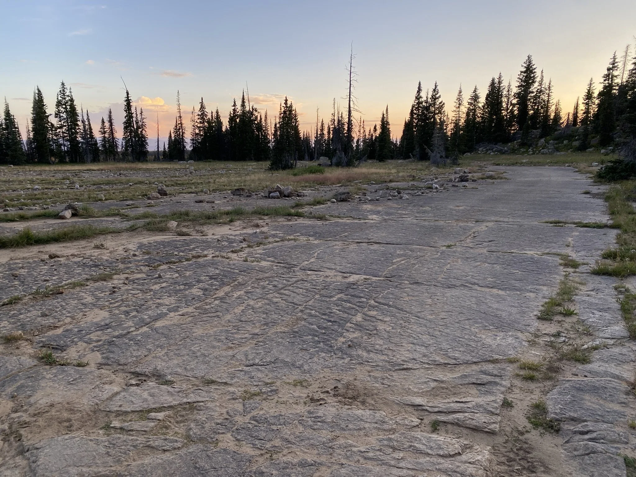
Now hiking by headlamp, I wandered to a few potential campsites, but none felt quite right—damp ground, uneven slopes, dense grass. Eventually, I gave in and stopped at a site that was somewhat acceptable, but by far the worst camp I had picked the entire trail. I blame the lack of water for that decision.
Still, I was happy to be in my sleeping bag, eating a hot meal, and mostly enjoying my final night on trail.