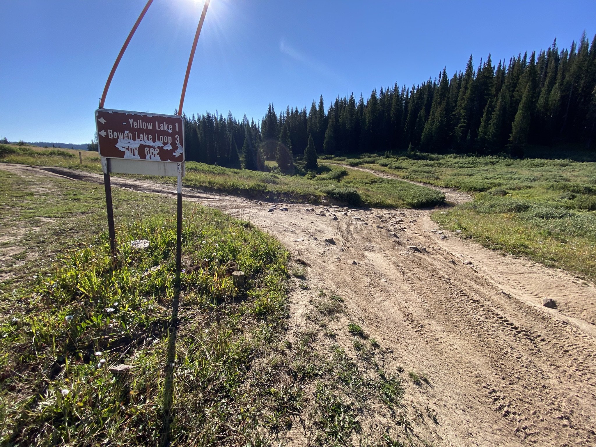
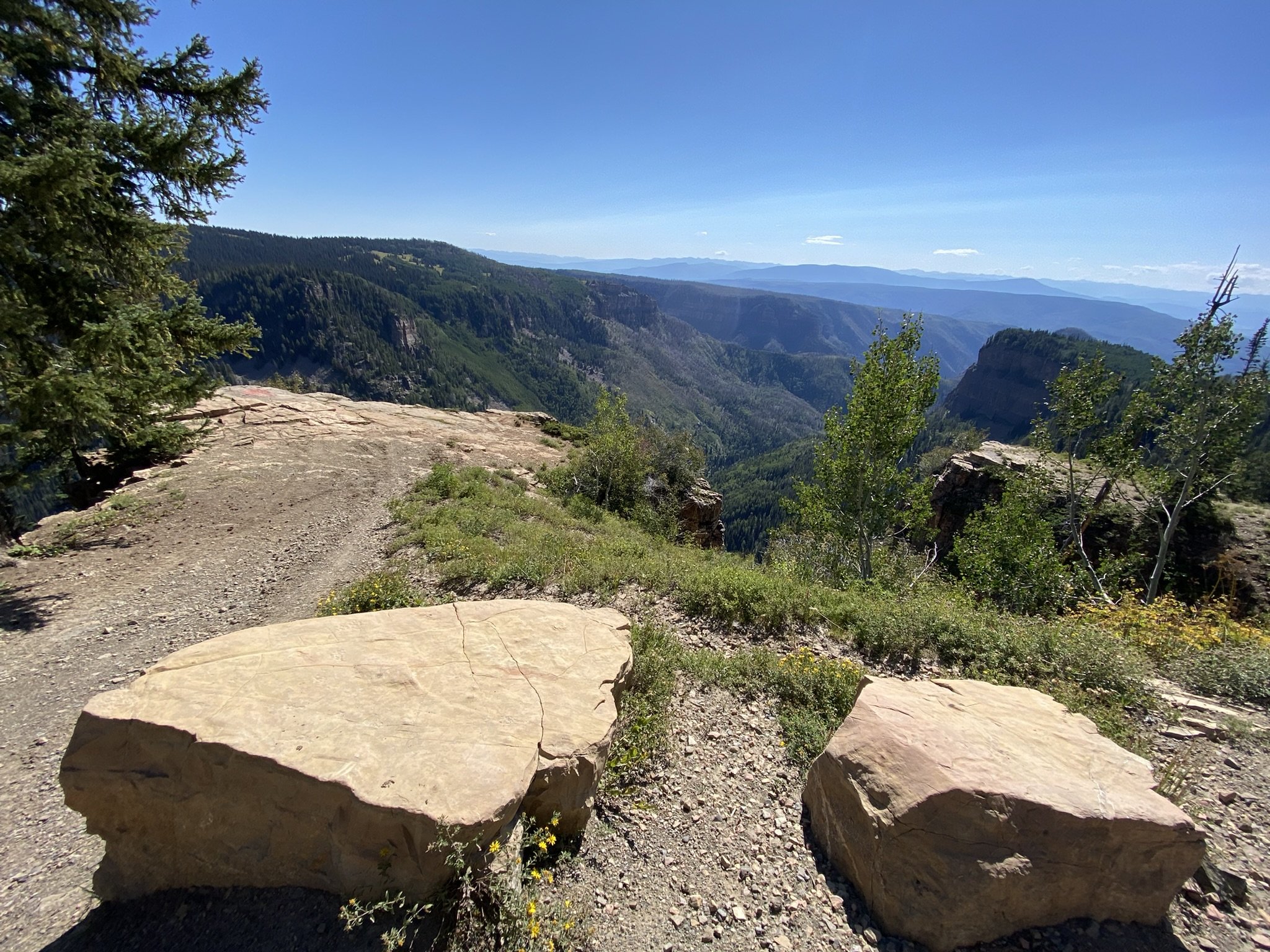
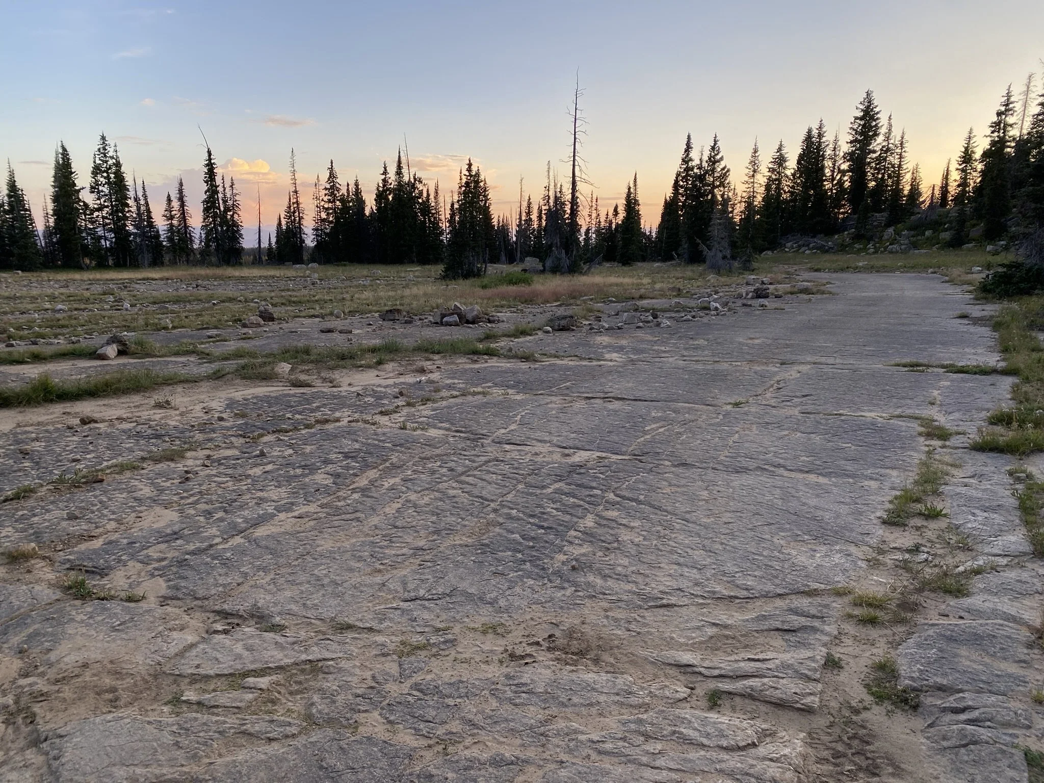
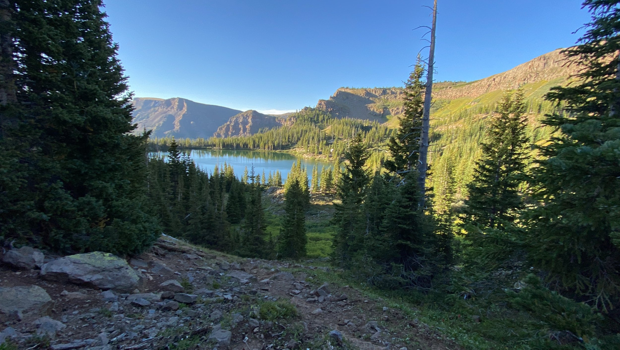
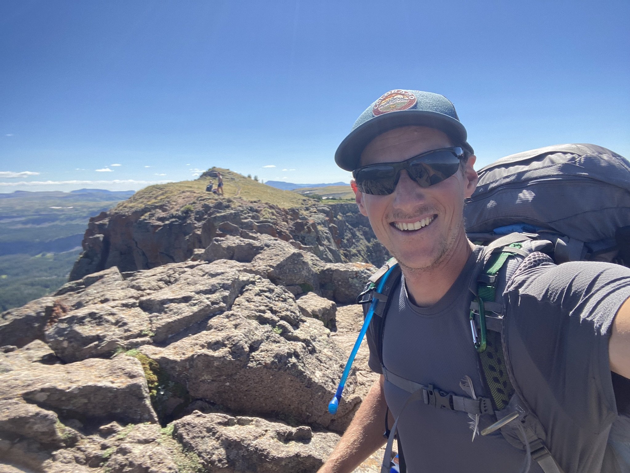
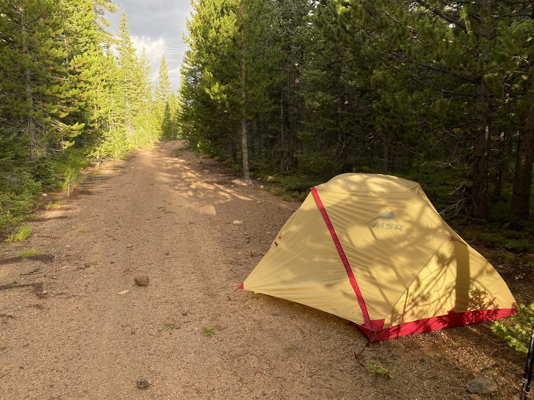
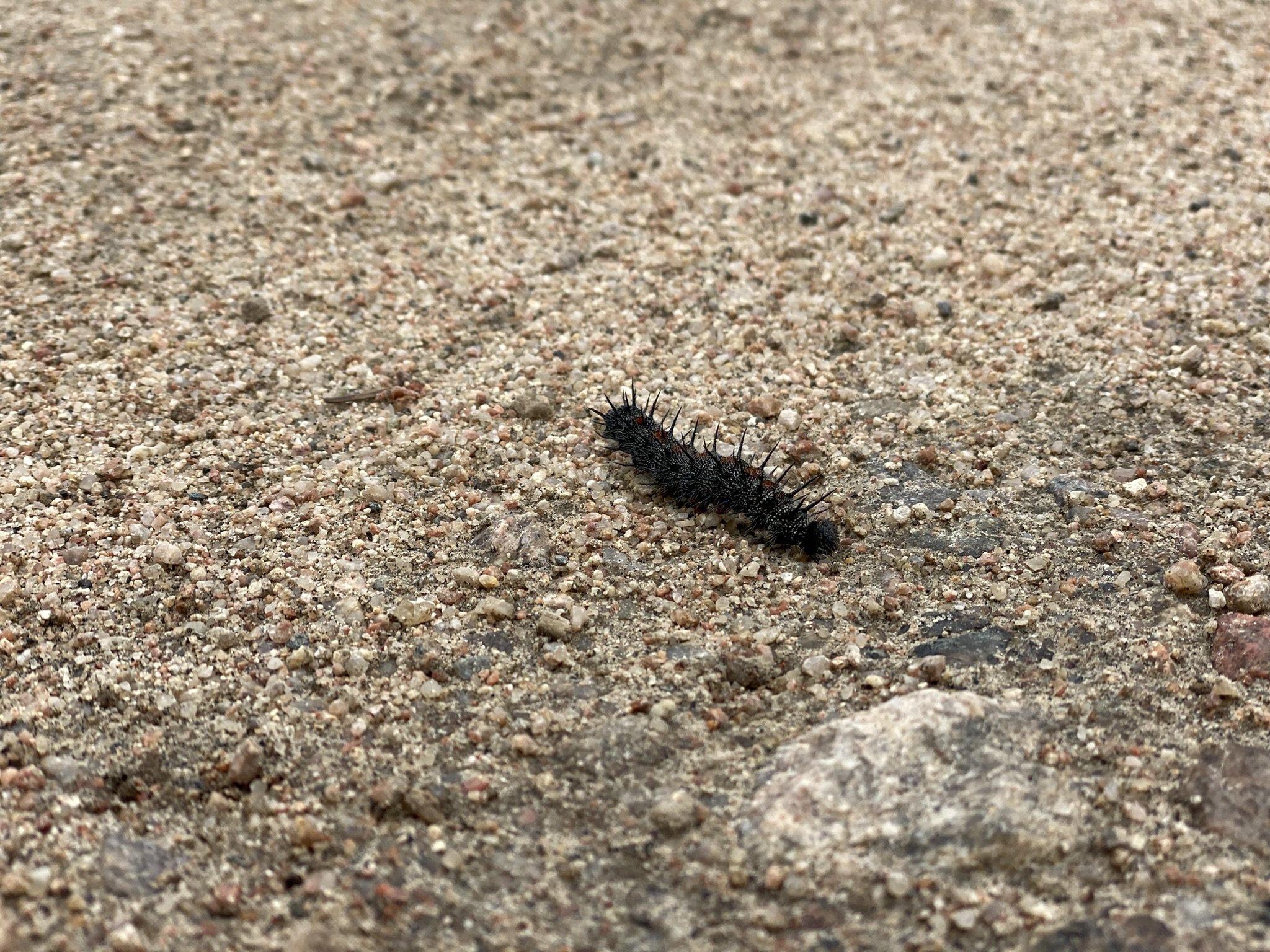
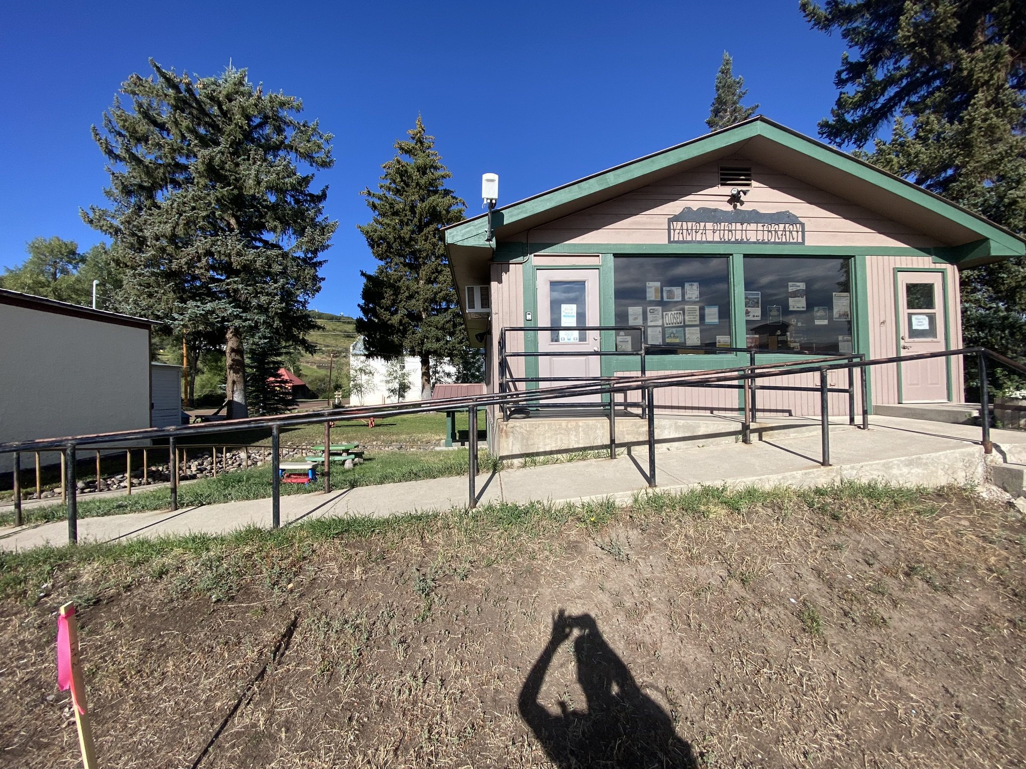
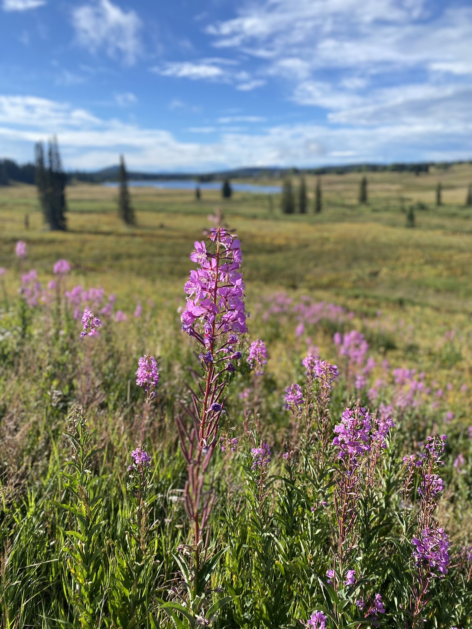
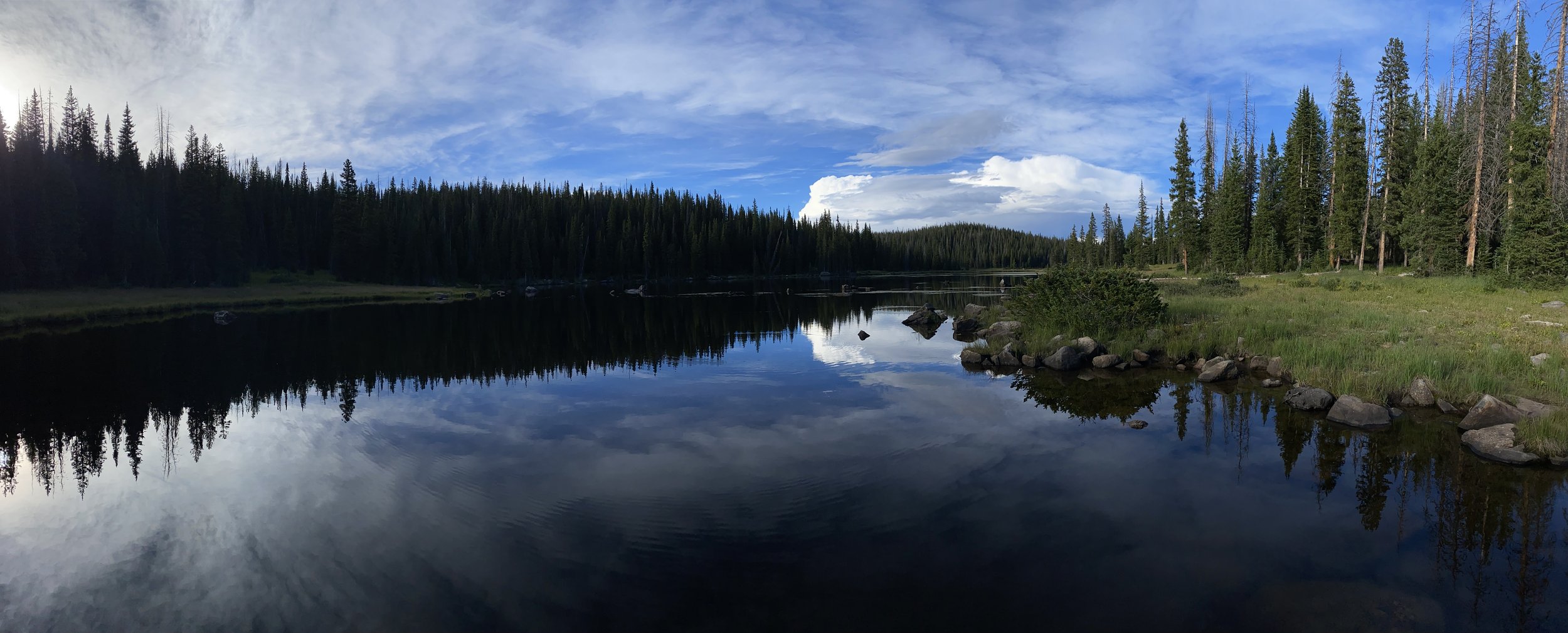
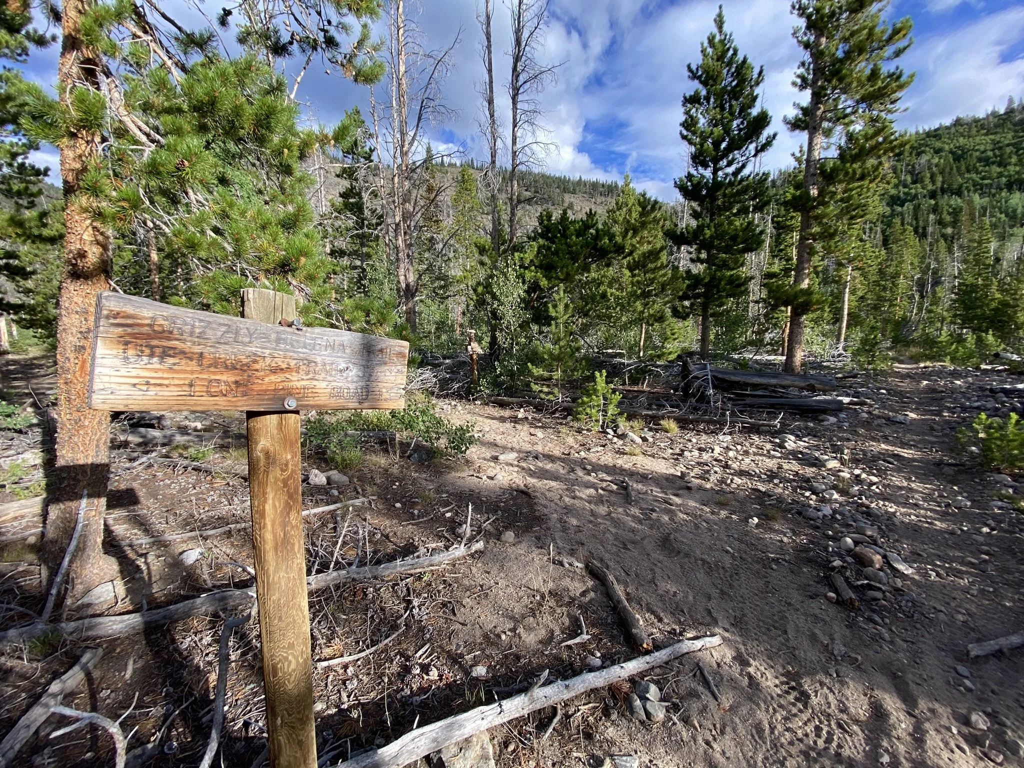
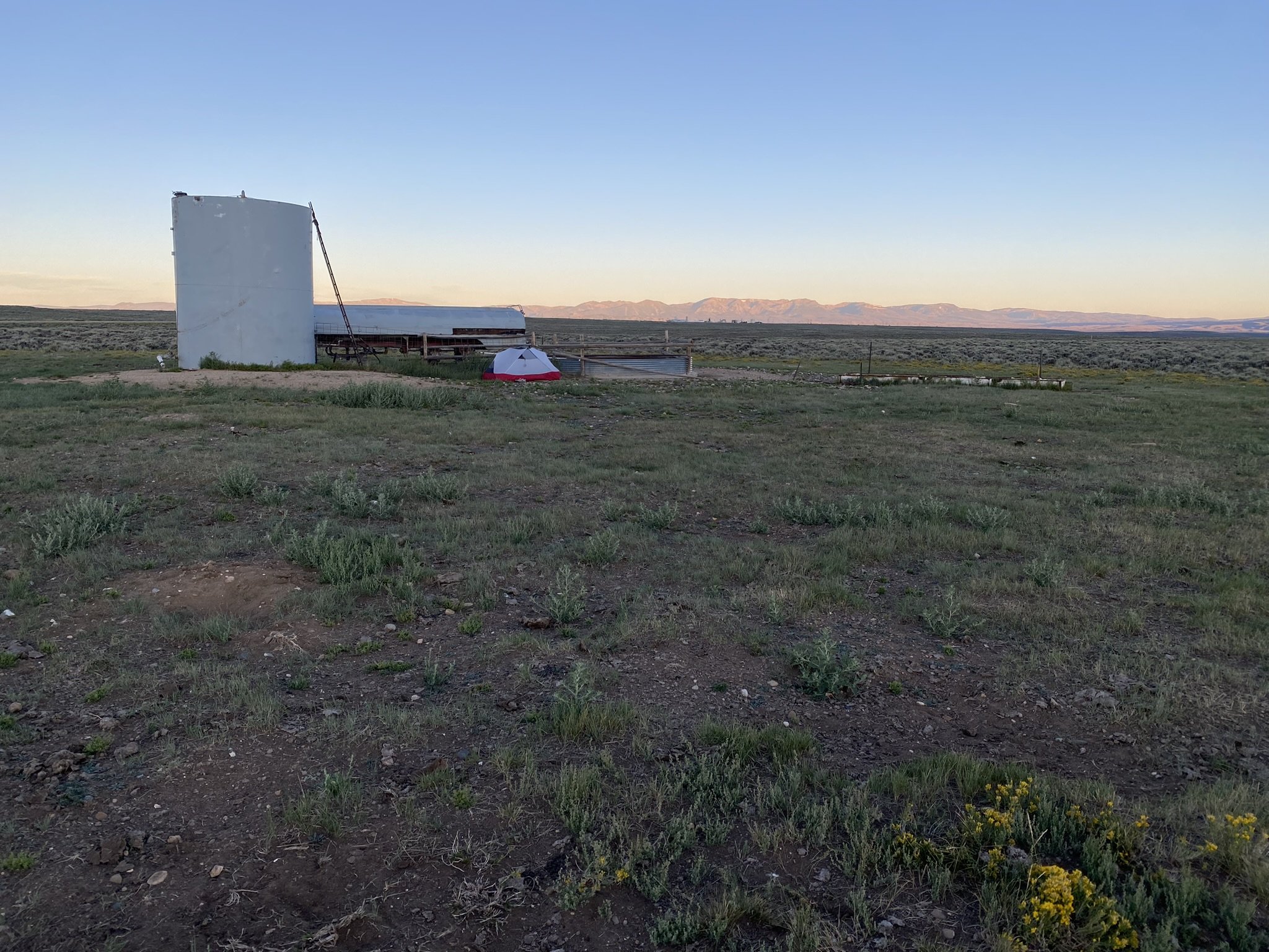
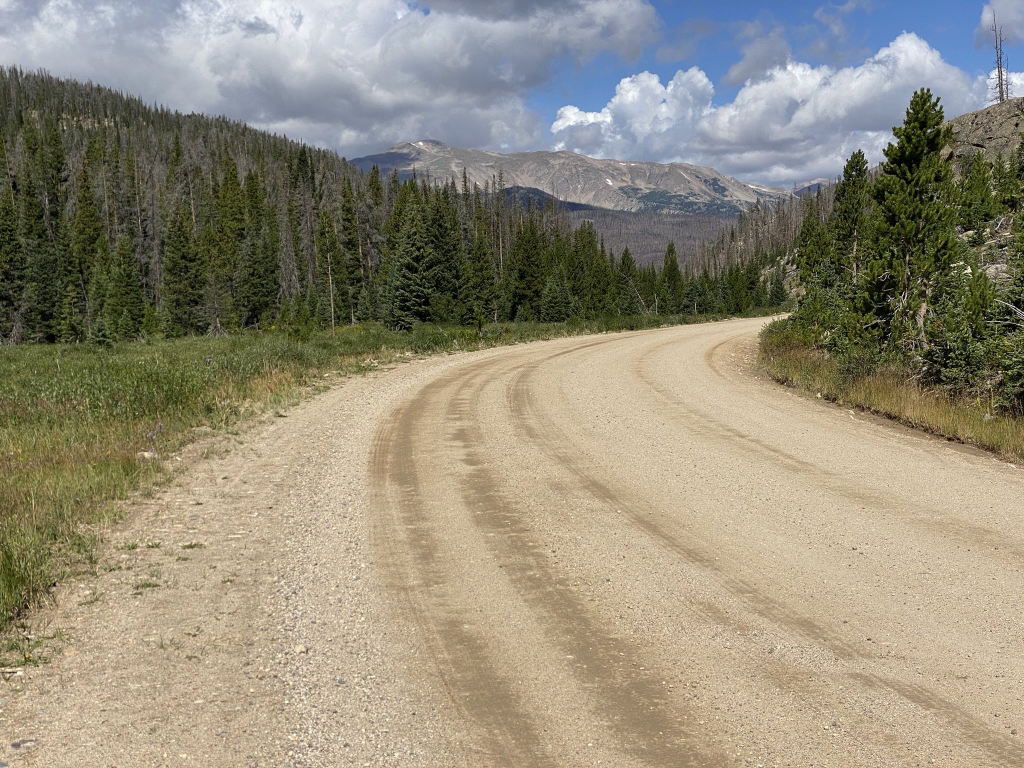
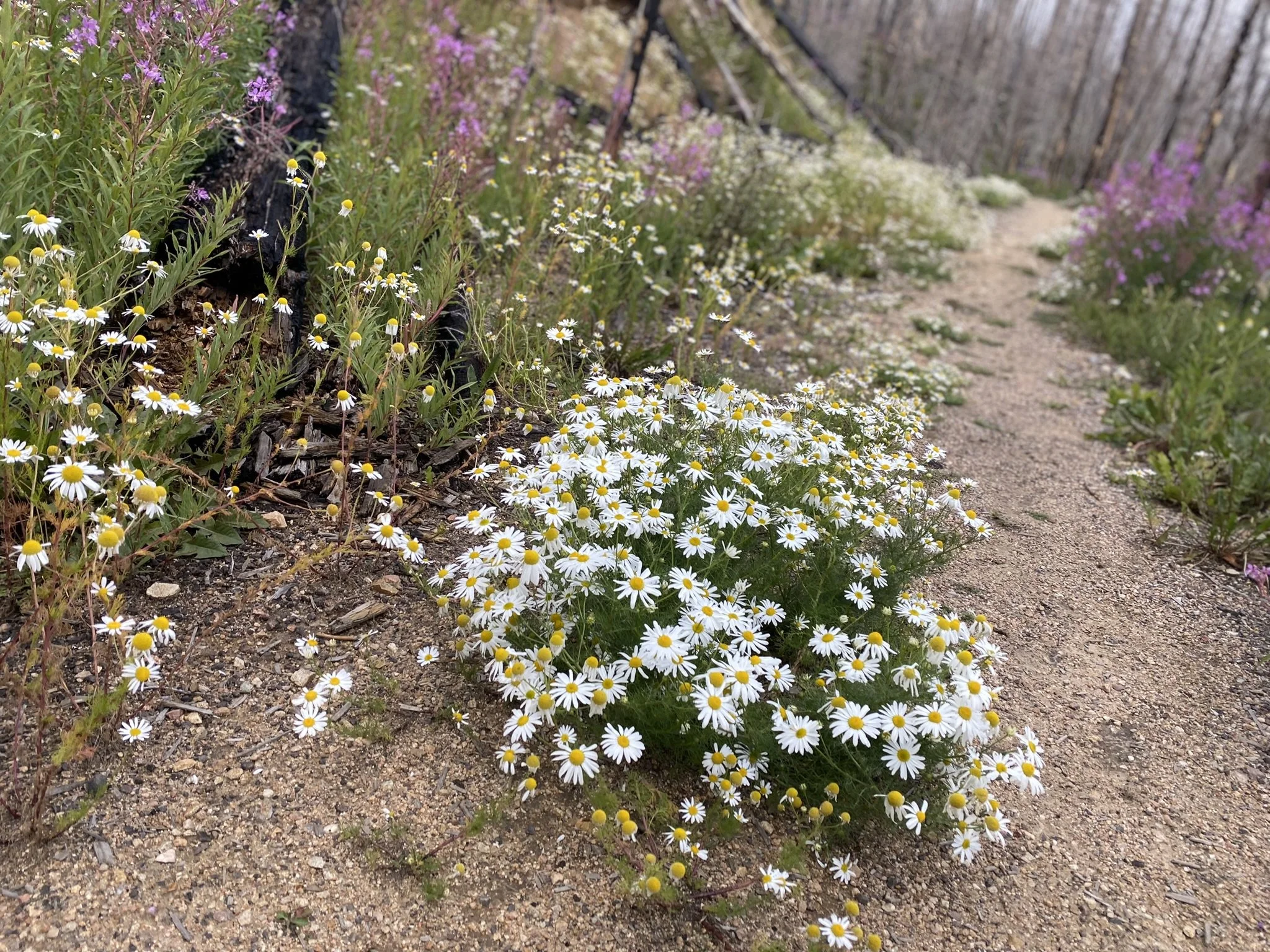
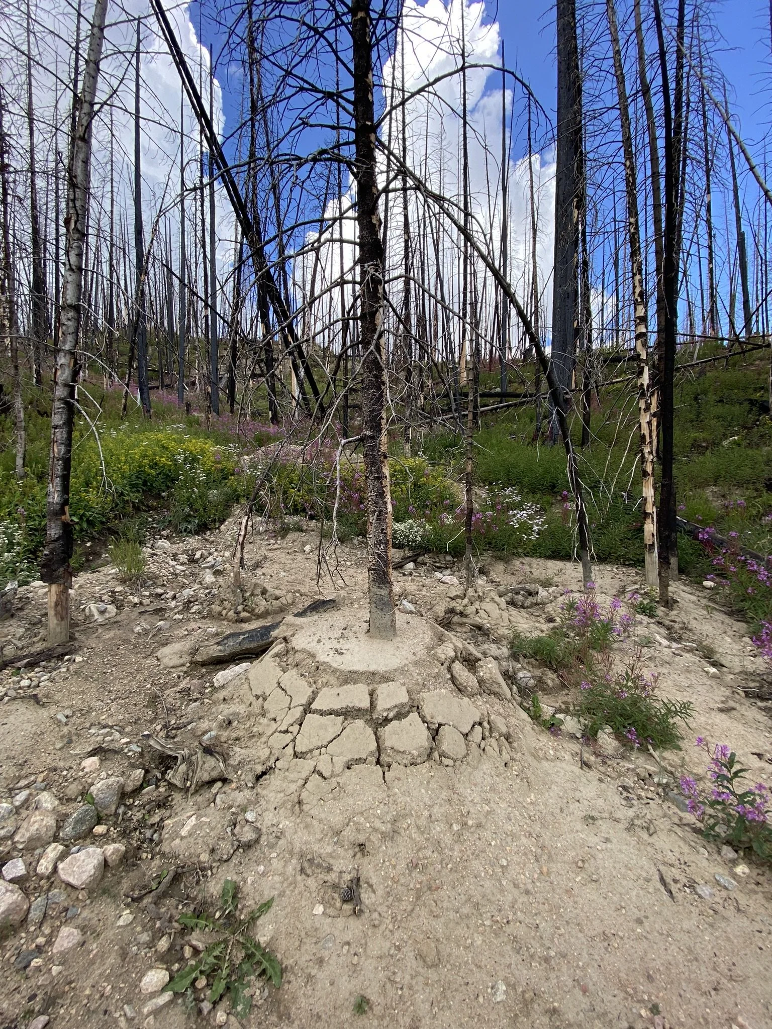
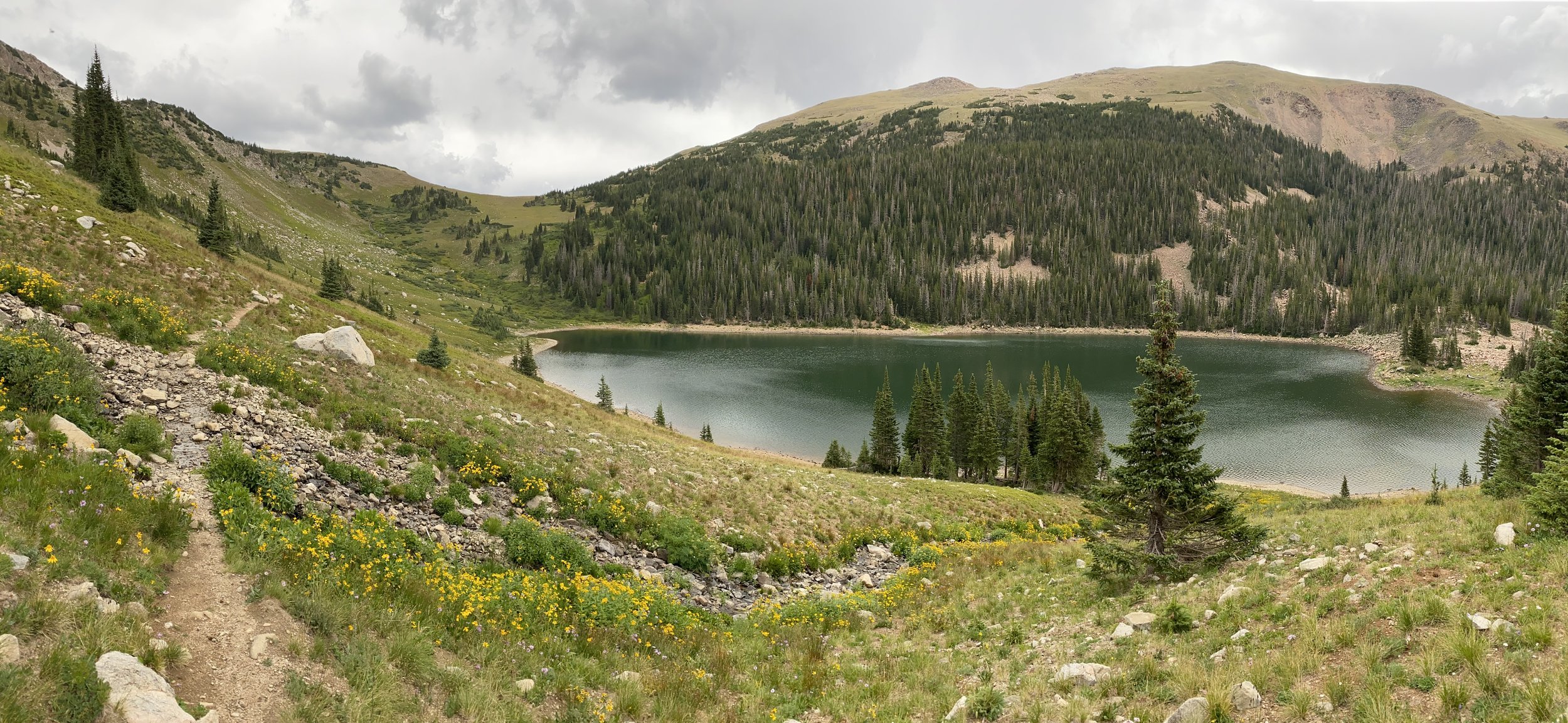
NOCO Trail Day 9 - CDT near Steamboat Springs (18.9 miles - 30.4 km)

NOCO Trail Day 7 - Beginning Segment 2, Leaving Walden (21.0 miles - 33.8 km)

I decided to have a more relaxed morning with my girlfriend rather than rush back on trail. We went to Rita’s Cafe, about a quarter mile north of the Family Dollar, where they made me a breakfast to order. My go to is a bacon, egg and cheese sandwich.

My reward for a more relaxed morning was a giant bull moose as I crossed the Michigan River. It was just hanging out in the river as cars pulled over behind me to snap a picture of the majestic creature.

With un-forecasted clear skies, I pushed on waving one last time to my girlfriend as she drove back to Fort Collins. A short distance after turning onto County Road 12 West, I turned into a private campground just off the south short of the Walden Reservoir. When planning this route, it appeared that if I could cross through the campground, I’d be able to access a road on the BLM land and avoid walking long the paved CR12 for the next several miles.

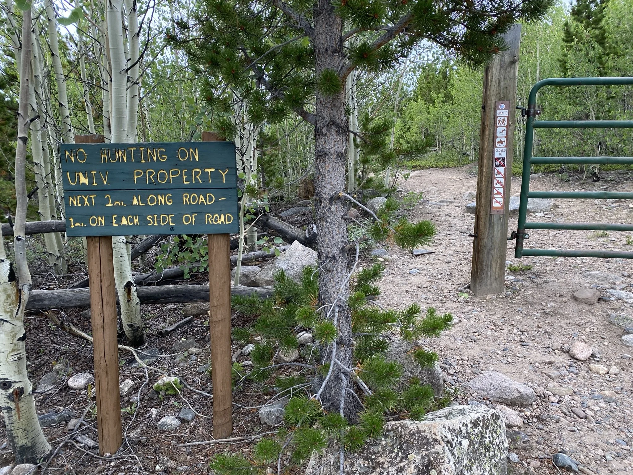
Unfortunately after crossing campgrounds property, there were additional private property signs preventing further progress. So I backtracked a bit and was back on CR12 taking the backup route. Further down CR12, I chose to walk down another road that I thought would connect to the BLM land, which turned out to be on private property as well. So once again I backtracked to CR12 and a mile or two later, I was able to turn onto the BLM roads. There was a very tricky cattle gate to get open and closed (the most difficult I’ve ever passed through). Something to pay attention to if hiking alone.

The majority of the afternoon was spent hiking along county roads leading towards the Lone Pine area, even passing through the Lone Pine Ranch. I chatted with one of the operators of the ranch and drank some water from the creek.

With having got a later starts, I was got to the Lone Pine North Trailhead and found a place to pitch my tent with the last bit of light coming over the horizon. The trail miles for today was more close 19.5 as attempting to reach BLM land added some.

NOCO Trail Day 6 - Arriving in Walden, CO (8.9 miles - 14.3 km)

The Walden Basin cooled right down under the clear skies through the night, which brought out a nearly full moon that was incredibly bright. I woke up in the night and could see the color of the vegetation and distinct shadows across the landscape. The oil pumps in the distance made a squeaking sound throughout the night, so I put in earplugs.

The sun rose around 6:30 a.m., and with nothing to provide shade, I was quickly baked out of my tent and back on the road. It was a straightforward road walk into Walden. Many of the oil field truckers were driving around to their different sites, and there was a view of a reclaimed coal mine with a viewing scope.

I also walked by the firing range in the area—good to know that’s around, as I was hearing gunshots from the road at a distance. Immediately after passing the firing range, the route turns right onto County Road 12E, a straight-line road into Walden, about 3.5 miles.

The town of Walden is a small ranch town in the North Park area, known for its fishing and recreation opportunities. It has a very nice convenience store with outlets outside by the ice machine and a Family Dollar as resupply options. There are also a couple of restaurants and a café in town, along with a post office, two lodging options, a laundromat, an airport, a liquor store, and a campground just outside of town (along the next segment). On weekends, the town is much livelier, with a lot of through traffic from motor tourists.

I met my girlfriend at Four Winds Pizza before going to the North Park Inn & Suites to get a room for the night. They had coin laundry services at the Inn. I then went to the Family Dollar and Corkle’s Mini Market to resupply for the next segment. Dinner at the River Rock Cafe where I will note they made a delicious burger.

NOCO Trail Day 5 - State Forest State Park & East Sand Hills (15.1 miles - 24.3 km)

It rained a little during the night; otherwise, it was calm and peaceful, and I got some good rest. Camping on the ridge provided an equally epic sunrise to yesterday’s sunset. I was back on the trail by 6:20 a.m.

With blue skies overhead, I entered State Forest State Park, which requires a $4 day pass, purchased through Colorado Parks and Wildlife’s website. Fortunately, I had cell service (T-Mobile) on the ridgeline, where I purchased the pass. The route I selected entered the state park via the Ute Pass Trail. This trail had the worst blowdowns of any part of the route—it was obvious that not many people had traveled this way this year.

As the Ute Pass Trail descended out of the mountains, it followed and crossed streams, marking the end of the first dry section of the trail. Ten miles and a dry camp were better than I had expected when planning the route. Passing by the East Sand Hills before reaching the Canadian River, I ended the day walking on County Road 10 onto BLM land.

As I walked down CR 10, I saw a structure that looked like a water tank. I ventured over to see if it had any water access, but it was old, unmaintained, and dry. However, it provided excellent shade and a windbreak from the afternoon heat. After hanging around in the shade for several hours, I decided the windbreak was worth staying near for the night. As the sun set, I pitched my tent and ate dinner while looking at the ridgeline I had slept on the night before.

NOCO Trail Day 4 - Rawah Wilderness, Medicine Bow Ridge & and Epic Sunset (16.2 miles - 26.1 km)

Up early enough to enjoy my coffee while watching the sunrise, I knew it was the start of an amazing backpacking day. The Rawah Wilderness is home to numerous alpine lakes, a stunning ridgeline, and a healthy population of moose. On most trips, I spot a moose near one of the many lakes where backpackers can camp. It’s definitely something to watch out for.

One time, I was hiking a trail in the area surrounded by dense willow brush when I turned a corner and found myself just 25 feet from a moose. A magical sight—but also a little spooky with nowhere to hide.

The route continues over Grassy Pass, where cell service can sometimes be caught in the wind. I had told my girlfriend I’d check in if I had a signal, but unfortunately, I didn’t. While hiking over the pass, dark, gloomy clouds hovered overhead, so I didn’t linger at the high point for too long.

In the end, the storm moved through quickly, and the sunshine returned, making for a wonderful and peaceful mid-afternoon. With no moose sightings this time, I continued through the Alpine Lakes area of the Rawah Wilderness before venturing up to the Medicine Bow Trail, which overlooks the Walden Basin. A grand and epic view, the route stayed along the ridgeline for the rest of the day.

Once again, the sunset was magical.

NOCO Trail Day 3 - Hwy 14 to Blue Lake (12.6 miles - 20.3km)

The night was chilly down by the Cache la Poudre River. With the sun drying out my tent and not a cloud in the sky, I relaxed with a morning coffee and looked forward to what the day had in store. I was set to make it past Highway 14 today and venture into one of my favorite areas—the Rawah Wilderness.

But first, the trail joined some large Forest Service roads near Peterson Lake—one of the more gorgeous roads to hike. Forest Road 156 connects to Highway 14 at the Blue Lakes Trailhead, one of many that lead backpackers, fishermen, and horseback riders deep into the Rawah Wilderness. Featuring an incredible alpine ridgeline and numerous alpine lakes, it’s a true gem of northern Colorado.

The Cameron Peak Fire burn scar continues up the Blue Lake Trail for several miles. Just below the trail is Chambers Lake, and just north of the lake is where the fire originated—massive destruction, the worst in Colorado’s recent history.

Happy to be back in the trees and reaching the alpine area, I felt good, enjoying familiar sights. I knew there was an epic campsite at the top of the ridge above Blue Lake, so that was my goal for the day—a shorter day, but since I had taken the low route yesterday, I was ahead of schedule. I’m glad I stopped.

Mostly because of the views, but also because, just as I was putting the last piece of gear in my tent, the rain began. And it didn’t stop for hours. With a short break before sunset, I got out and took some of the pictures you see below. Epic views!

As the sun went down and the temperature dropped, I crawled into my sleeping bag, threw on an audiobook… then it started to snow! It dumped for a solid 30 minutes—wind, sleet, and all—before clearing up but staying breezy. That breeze would dry everything out by morning.

Gotta love Colorado!

NOCO Trail Day 2 - Mummy Pass and Stormy Weather (15.2 miles - 24.5 km)

With a good night's sleep, I was feeling better this morning. I most likely didn’t eat enough calories yesterday, which I find is common for me on the first day… or the first three days of a thru-hike.

On the trail by 8:15 AM and feeling good. I had a little detour at Fall Creek where I had relied too much on the maps, which led me down a strange, old, slightly sketchy path. I ended up bushwhacking back to the trail, which had been nice and well-maintained the entire distance I was "off trail."

Filled my water and ate food at Fall Creek. I also met a couple of backpackers who were heading back to their car after a few days on the trail. We had a good conversation about gear, staying warm at night in the high country, and using lightweight running shoes instead of heavy waterproof boots.

The trail climbed back up into Rocky Mountain National Park (RMNP) and goes over Mummy Pass. After making it over the pass, the trail greatly degraded. It seems as though not many people venture this way, or everyone who does takes a different route. Following the maps and having a sense of the path I was following, it led me downhill back into the Cameron Peak Fire area.

As I approached the intersection where the trail leads up to the Redline highpoint in the Comanche Peak Wilderness, the storm began to roll in, and lightning was striking the valley below me. It was time to make the decision to take the low route. As much as I wanted to stay on the planned path, I felt it was too risky.

I knew I wouldn’t see too many other backpackers because when I reached the intersection of the high and low routes, there was a sign saying the trail I had just come from was CLOSED! Oops. I never saw any indication of this in the planning stage, nor any signs of it coming from the direction I had. The sign said the trail is dangerous… but I didn’t feel the same. Still, I feel I didn’t disturb the ground or environment and plan on going back in the spring/summer of 2025 to ensure it’s open before planning to take that route again.

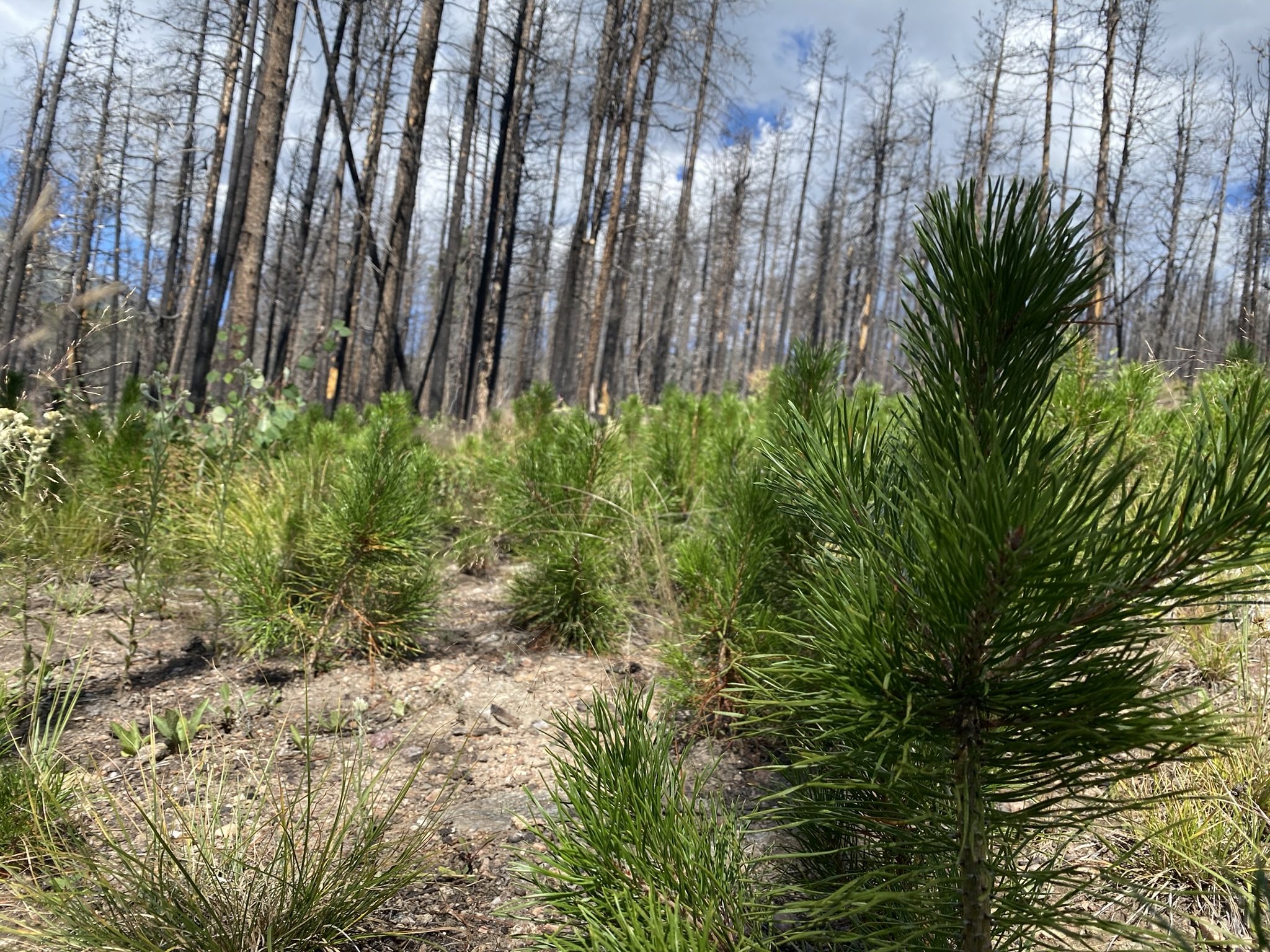
Now on the low route, I descended out of RMNP and walked along the Cache la Poudre River. The storms subsided, and I found a nice campsite amongst the burned landscape. I felt a little sad about how much land was burned so intensely. But there is new life growing, and each year it will become more and more prominent. The hillsides will be covered in aspens, which will make for a magical sight in the fall.

With the skies clear of clouds in the evening, I looked up at the dark sky full of stars and watched the satellites zoom by. A magical end to an intense day.

NOCO Trail Day 1 - Segment 1 RMNP and Stormy Peaks Pass (15.2 miles - 24.5km)

Packed up and out the door by 8:10 a.m. The trailhead is 30 minutes from my home, and my mom and girlfriend, Corrie, were taking me to the trail. That was nice as I had pre-trail nerves kicking in. It also made it more difficult; starting meant literally walking away from those you love.

On the trail by 9 a.m., walking along the North Fork of the Big Thompson River and into Rocky Mountain National Park. After a few miles, I entered the burn scar of the Cameron Peak Fire (2020), the largest fire in Colorado's recent history and a burn scar I'll be backpacking through for the next three days.

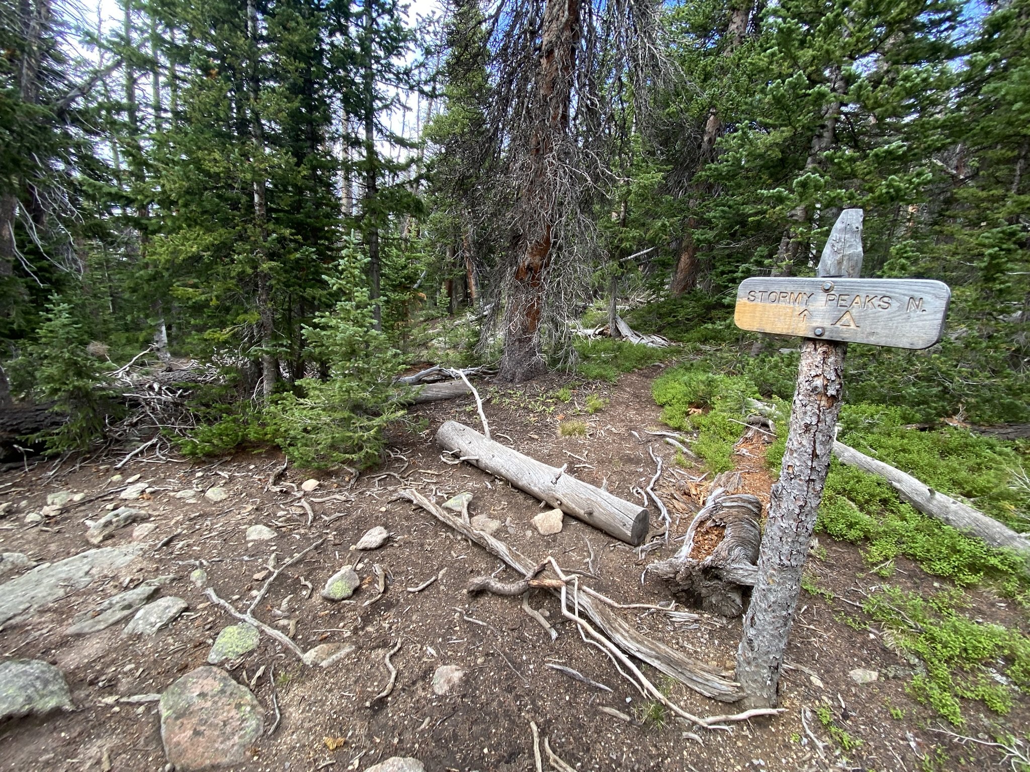
Once off the North Fork Trail, the trail grade increased dramatically and launched me up to Stormy Peaks Pass (11,714 ft - 3,570 m), where I did get rained on, but there was no major lightning (except off in the distance).

It was a long, cruiser downhill to Pingree Park, where the CSU Mountain Campus is located. By the time I reached the road, I was dehydrated as I had run out of water 3 miles prior, which meant I wasn't interested in eating the heavy-ass pizza I had carried all day. I was exhausted and probably hypoxic.

So when I reached the Tom Bennett Campground, I forked over the $17 (cash/check) and grabbed a site. I was the only one there. This whole area had been ravaged by the 2020 Cameron Peak Fire, which closed a lot of these campgrounds for many years. This was the first time some had opened up, I believe. Still, my fire pit was taped off, telling campers not to use it.

I chugged some water, ate what food I could get down and dozed off to the sound of flowing water which was the end of a nearly flawless first day on trail.

The Northern Coloardo Trail

Northern Colorado Trail Stats

292.0 Miles - 470.0 Km

47,892ft - Ascent - 14,597m

48,671ft - Descent - 14,835m

12,537ft - High Point - 3821m

Northern Terminus (SOBO) at the Dunraven Trailhead (Glen Haven) - Southern Terminus (NOBO) at the Transfer Trail Trailhead (Glenwood Springs)


Pre Trip Planning

For about the past year, I’ve been pondering the idea of attempting a long trail route through the Northern Colorado Region. After many iterations and contemplations I’ve set a final idea in my mind of the area’s and regions I’d like backpack. There are still a couple of segment’s that might need modifying once I’m on location and see if the trail’s on the maps still exist. I believe this route to be one of the best representations of what Northern Colorado has to offer, as well as providing plenty of opportunity for alternate routes as anyone who has hiked a long trail before will know, it’s a lot about hiking your own hike.

As a primary resource, Gaiagps.com/Mobile was instrumental to figuring out which trails linked into each other. Providing a variety of map overlays including the USGS maps, I was able to find likely locations of water and camping alongside ways to mostly avoid private land where it mattered.  I then organized and separated routes and points into 4 distinct segments.  These segments represent likely legs between resupply options.  There are other options available for each segment.  Some alternates are Low Routes for stormy weather and others that would shorten the distance to resupply.  There are many that just take you a different way, making it a trail that would be hiked many times without ever following the exact same path.  Very similar to the Continental Divide Trail (CDT).

The Northern Colorado Trail ventures 292.1 miles through Rocky Mountain National Park, State Forest State Park, Comanche Peak Wilderness, Rawah Wilderness, Mount Zerkel Wilderness, Sarvis Creek Wilderness, and the Flat Top Wilderness. Seeing three different Mountain Ranges and ascending nearly 50,000 feet in elevation (also descending that amount).

As with all the long trails in the United States, this is a community driven trail and if you have any ideas of your own, please feel free to share and leave a comment below.


Northern Colorado Trail - Segment 1 - Dunraven Trailhead (Glen Haven) to Walden (Main St.)

Segment 1 - Dunraven Trailhead to Walden

86.9 Miles - 139.5 km

17,161ft - Ascent - 5231m

16,844ft - Descent - 5134m

12,537ft - High Point - 3821m

7,688ft - Low Point - 2343m


Northern Colorado Trail - Segment 2 - Walden to HWY 40

Segment 2 - Walden to HWY 40

65.1 Miles - 104.8 km

10,655ft - Ascent - 3248m

9,215ft - Descent - 2829m

11,891ft - High Point - 3624m

7,973ft - Low Point - 2430m


Northern Colorado Trail - Segment 3 - HWY 40 to Yampa

Segment 3 - HWY 40 to Yampa

48.35 Miles - 77.7 km

5,945ft - Ascent - 1812m

7,564ft - Descent - 2306m

10,275ft - High Point - 3132m

7,906ft - Low Point - 2410m


Northern Colorado Trail - Segment 4 - Yampa to Transfer Trail Trailhead (Glenwood Springs)

Segment 4 - Yampa to Glenwood Springs

91.7 Miles - 148.4 km

14,363ft - Ascent - 4378m

15,254ft - Descent - 4649m

11,777ft - High Point - 3590m

7,015ft - Low Point - 2138m