With a good night's sleep, I was feeling better this morning. I most likely didn’t eat enough calories yesterday, which I find is common for me on the first day… or the first three days of a thru-hike.
On the trail by 8:15 AM and feeling good. I had a little detour at Fall Creek where I had relied too much on the maps, which led me down a strange, old, slightly sketchy path. I ended up bushwhacking back to the trail, which had been nice and well-maintained the entire distance I was "off trail."
Filled my water and ate food at Fall Creek. I also met a couple of backpackers who were heading back to their car after a few days on the trail. We had a good conversation about gear, staying warm at night in the high country, and using lightweight running shoes instead of heavy waterproof boots.
The trail climbed back up into Rocky Mountain National Park (RMNP) and goes over Mummy Pass. After making it over the pass, the trail greatly degraded. It seems as though not many people venture this way, or everyone who does takes a different route. Following the maps and having a sense of the path I was following, it led me downhill back into the Cameron Peak Fire area.
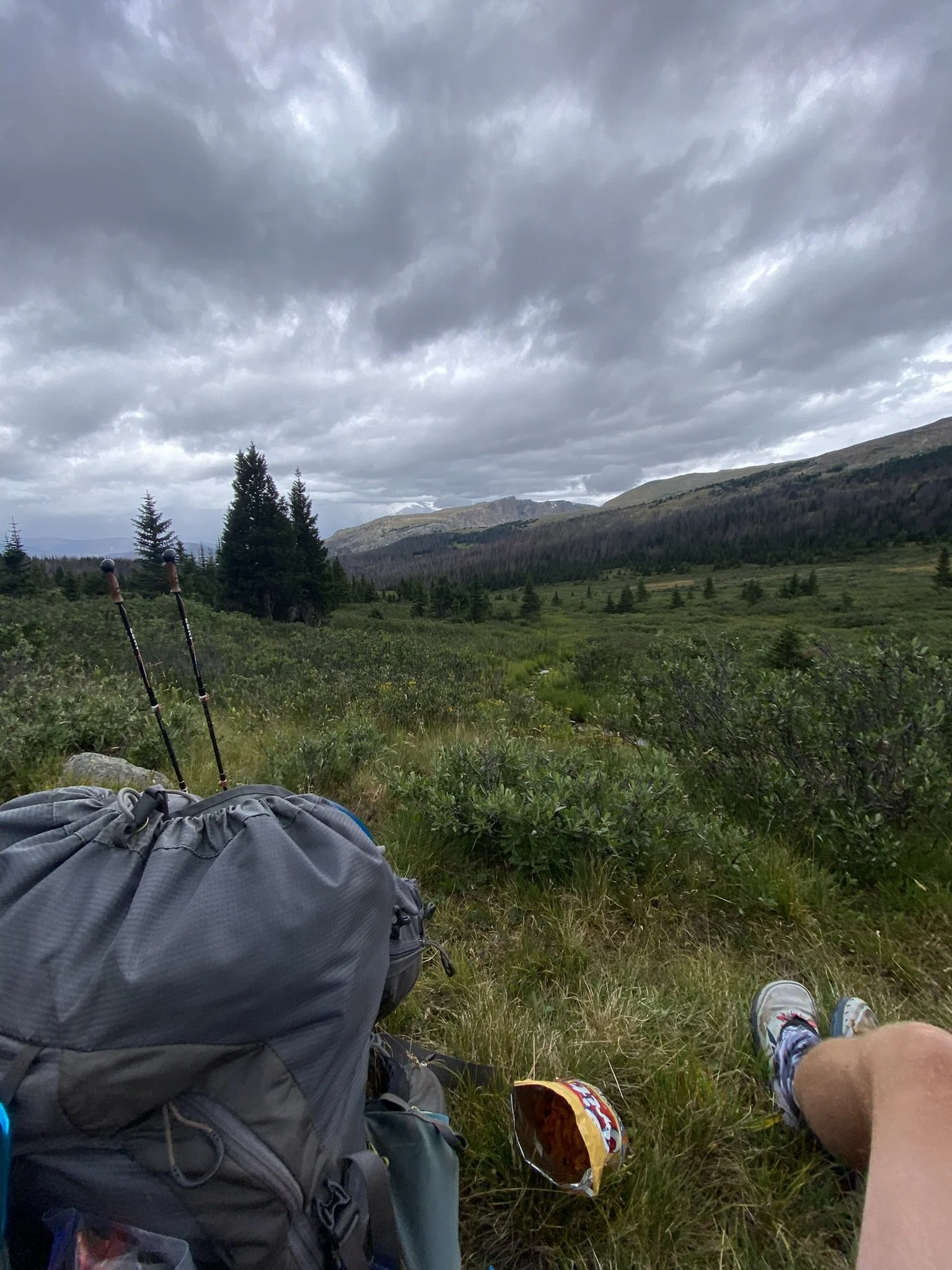
As I approached the intersection where the trail leads up to the Redline highpoint in the Comanche Peak Wilderness, the storm began to roll in, and lightning was striking the valley below me. It was time to make the decision to take the low route. As much as I wanted to stay on the planned path, I felt it was too risky.
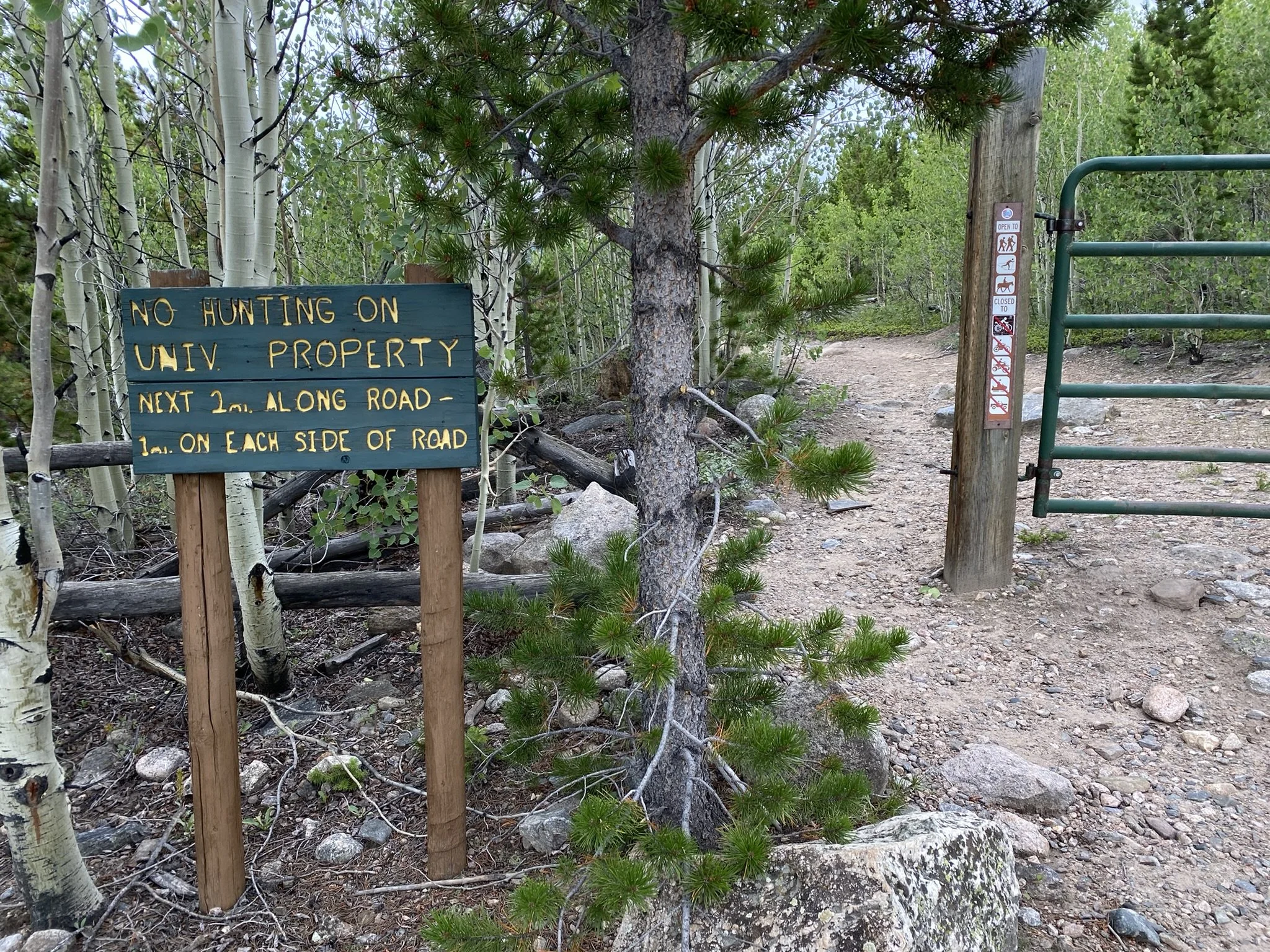
I knew I wouldn’t see too many other backpackers because when I reached the intersection of the high and low routes, there was a sign saying the trail I had just come from was CLOSED! Oops. I never saw any indication of this in the planning stage, nor any signs of it coming from the direction I had. The sign said the trail is dangerous… but I didn’t feel the same. Still, I feel I didn’t disturb the ground or environment and plan on going back in the spring/summer of 2025 to ensure it’s open before planning to take that route again.
Now on the low route, I descended out of RMNP and walked along the Cache la Poudre River. The storms subsided, and I found a nice campsite amongst the burned landscape. I felt a little sad about how much land was burned so intensely. But there is new life growing, and each year it will become more and more prominent. The hillsides will be covered in aspens, which will make for a magical sight in the fall.
With the skies clear of clouds in the evening, I looked up at the dark sky full of stars and watched the satellites zoom by. A magical end to an intense day.