Mileage Breakdown: 16.1 up and back down Mount Whitney to the PCT + 7.8 miles on the PCT = 23.9 miles Where to begin...
First getting up at 2:00 am worked great. I was excited enough that it was easy to get myself ready in a reasonable timeframe.
On the trail, we encounter our first obstacle. A river about 10 feet across was moving swiftly and nobody wanted to get wet that hour (3:15ish) fording it. The challenge was the log bridge that was in place was very unstable and icy. Frost was on everything. Some people didn't make it across without getting wet. I was fortunate to not slip on the middle section (had a 1/4 inch layer of ice on the log).
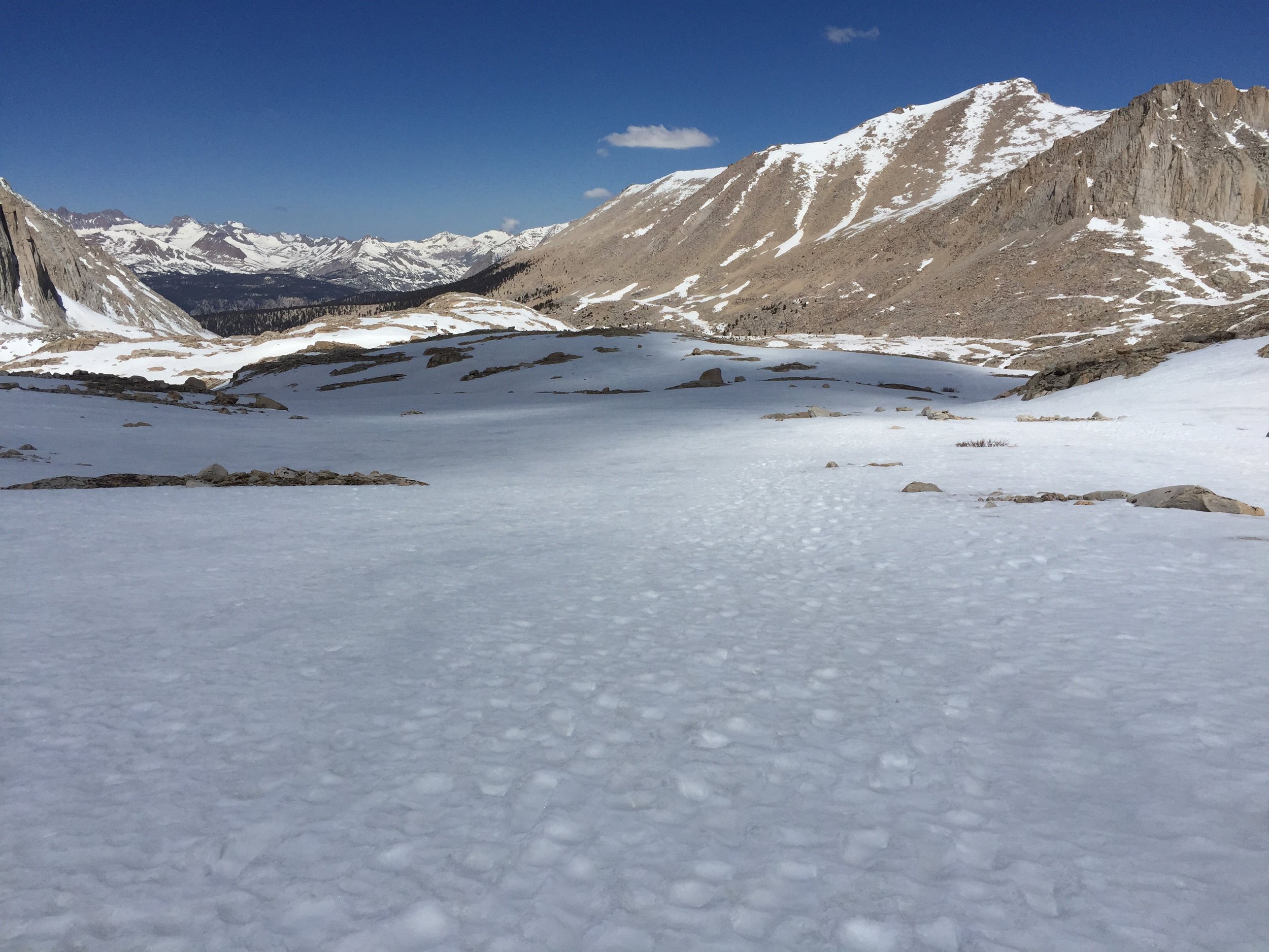
It was a 7.5 mile approach to the Whitney Summit. The first 4 miles were very easy, besides losing the trail in the dark while walking in snow.
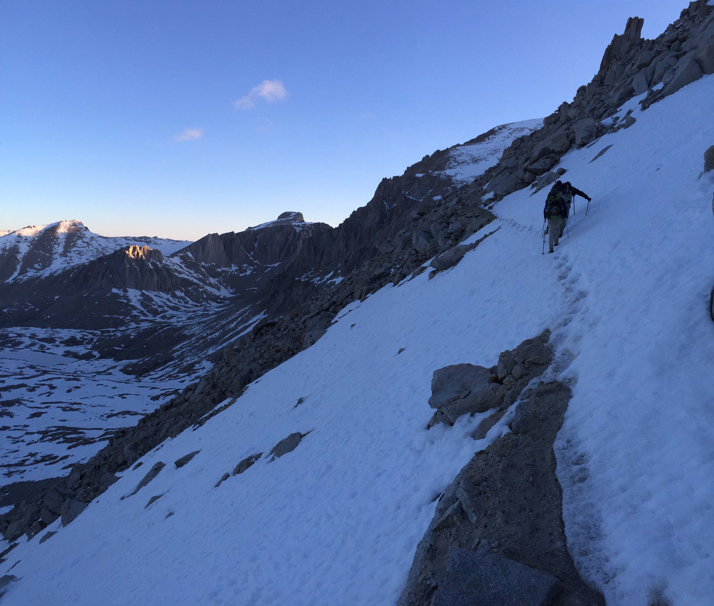
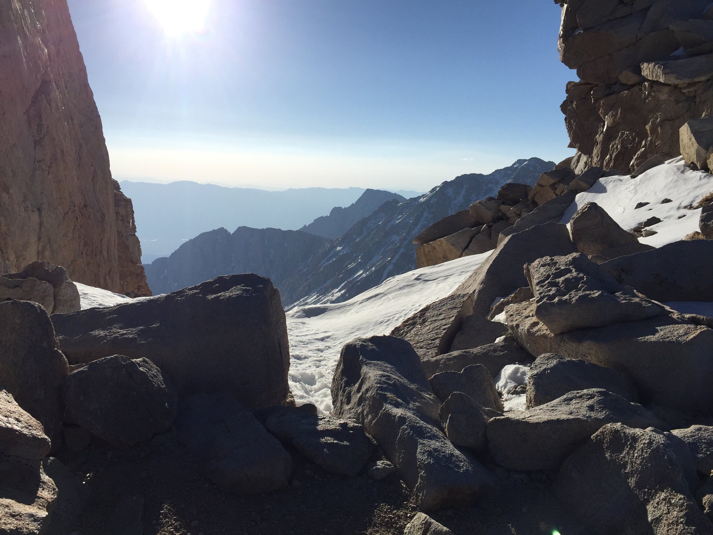
As the sun rose, the valley illuminated and the views were truly incredible.
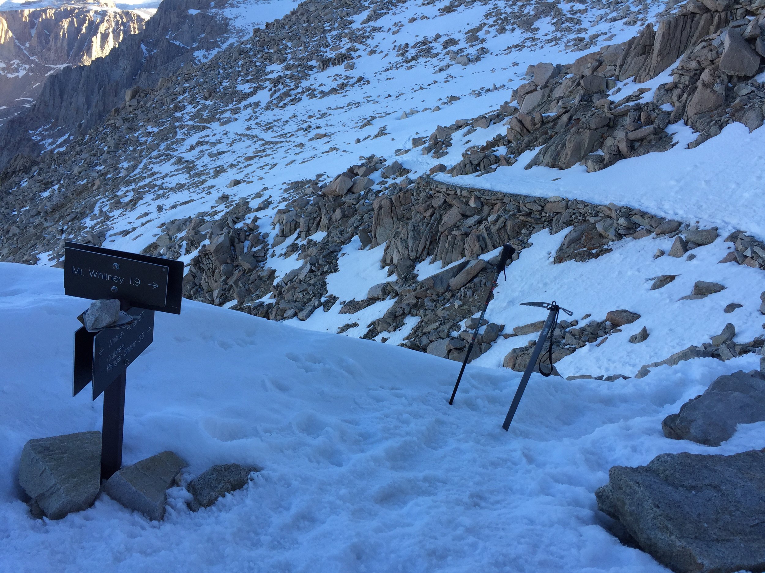
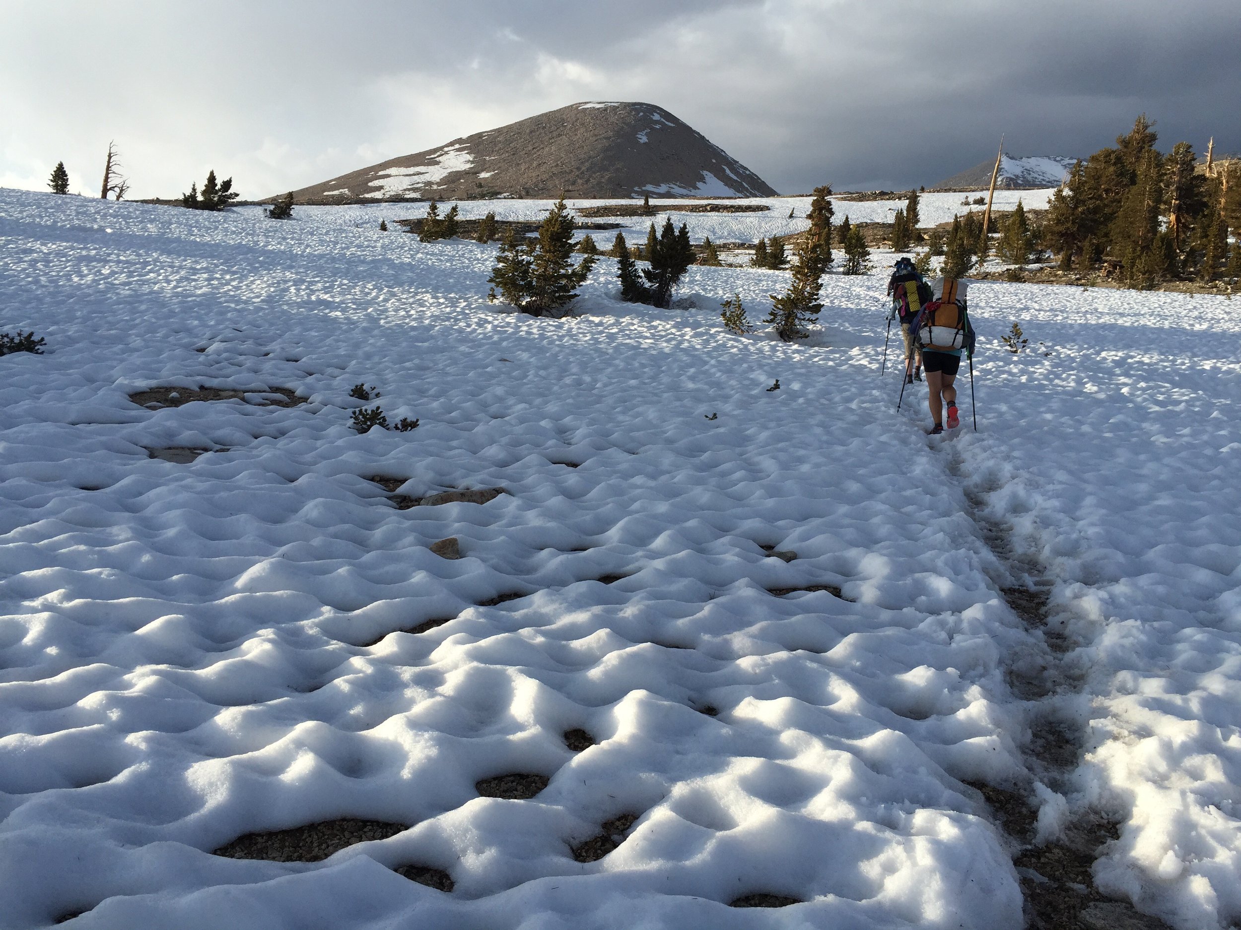
The following 3.5 miles had some challenging points where the trail would cross a snow field that was steep and the trail was not in the best shape. Careful planning and placement was required.
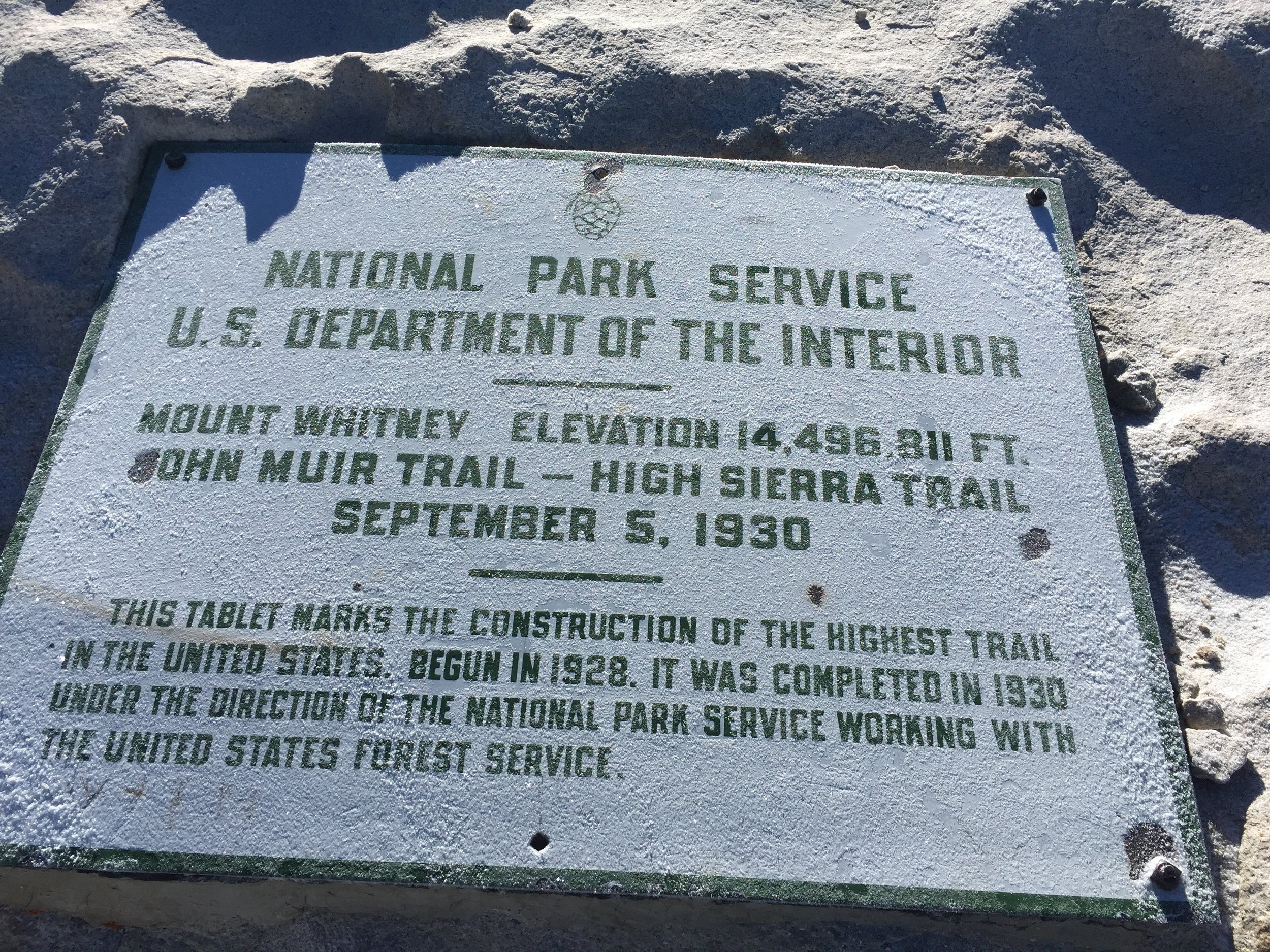
As planned, I arrived at the summit close to 8:00 am (was more like 7:45). It was a great feeling.
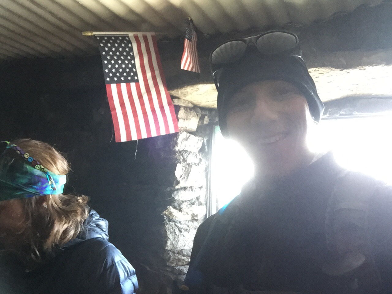
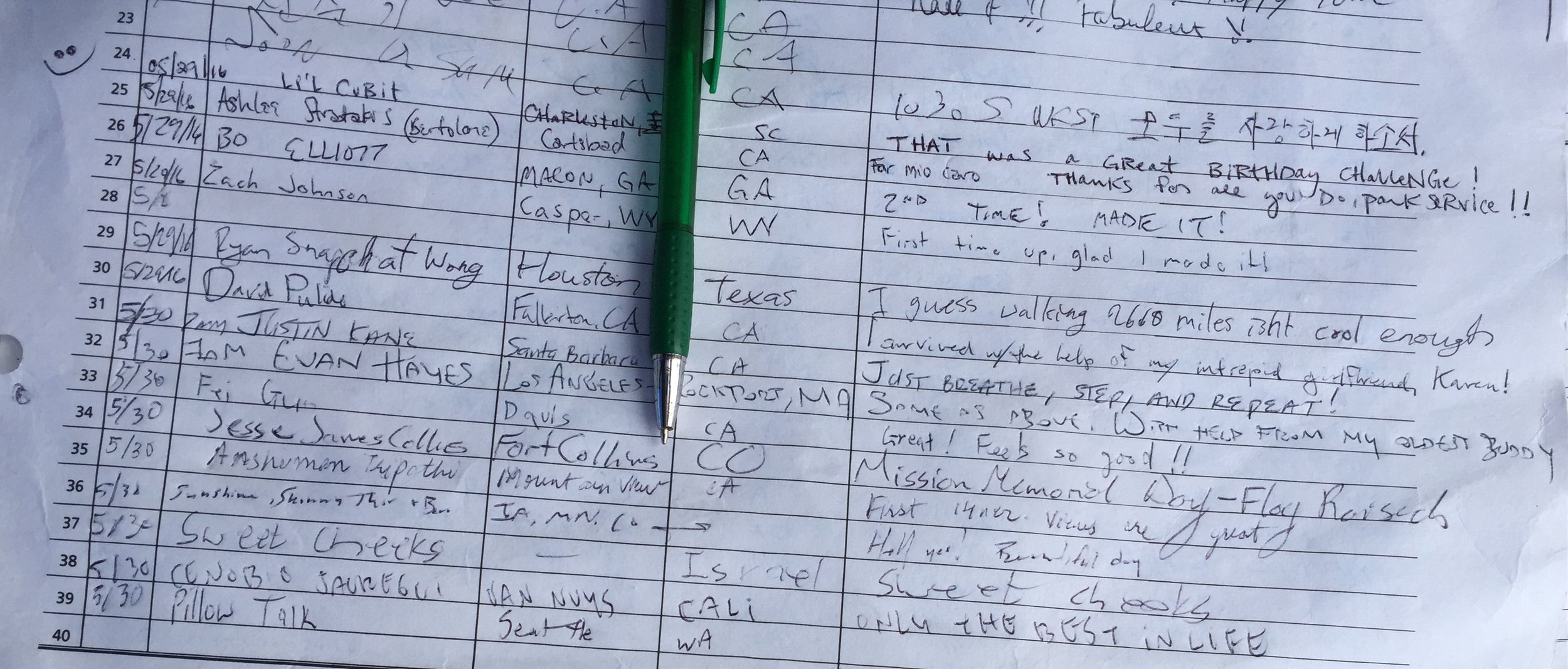
I hung out and took a bunch of pictures. Then I relaxed in the hiker hut to eat and stay out of the wind.
Around 8:30 I decided it was time to head back down. The challenge with going down the mountain was the sun had already been warming the snow which makes it soft with less traction (even with micro spikes).
This becomes an exhausting process, particularly toward the end of the steep descent. When the slope started to shallow out, the hike felt a lot like walking on very loose, dry sand.
Was back at base camp around 12:30 and I promptly at some lunch and went back to bed. The rest of the group trickled in throughout the next 1.5 hours. Each with the same agenda... Eat and sleep.
Around 3:00 we all started to pack up and look to make it 8 more miles to Tyndall Creek. Zinger (Nat) and I walked the first 3-4 miles before catching up to the group at a river crossing. It was the first that we all had to think about.
Before going through, we searched up and down the River for rocks or logs we could use to get across without getting wet. There was none. All of our shoes were slightly wet from all of the snow walking (lots of post-holing). Because of this we all decide it would be smart to leave them on to make it easier to walk across the rocks.
With success we cross, but feel a little chilled from the icy water. The best way to remedy for this is to walk... Fast. We came to one or two more crossings like this which left us all mentally tired and ready to be at camp. But we still had 3ish miles to get to Tyndall Creek. After the last climb of the day, we hiked on a alpine meadow saw a small storm building and the sun go down. All we could do we could do is keep walking.
Arriving at Tyndall Creek just before we needed headlamps, I pushed to have us cross today rather than tomorrow morning. It didn't seem much stronger than the previous ones, however it was much longer.
On the other side, we were greater with a warm fire started by hikers a little earlier. It was quite an incredible feeling to have the warmth of a fire after such a long, but very memorable, day.
Tomorrow is Kearsarge Pass, which is the tallest on the trip 13,200' and is known to be somewhat dangerous. Luckily I get to sleep in till 4:00 am. I don't think it will be enough.


